NOAAのTwitterイラスト検索結果。 134 件中 4ページ目

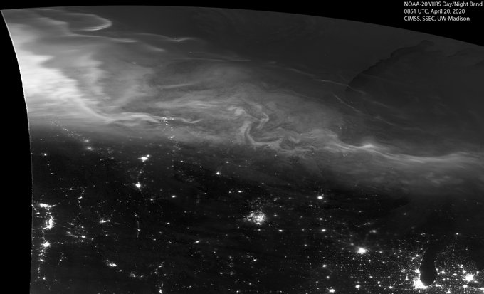
Good #MondayMorning everyone! Here's a look at the #AuroraBorealis overnight from the #NOAA20 satellite. Hope some saw the #NorthernLights from below.


@radiofreepony Here's a chart from NOAA about it! There's multiple ways plates bump up against each other (or move away)


Live for 24 hours on our Instagram Story: #marinemammalbaffle 3/29 edition. How much does a mature blue whale's heart weigh? https://t.co/K5p18f00wg Explore #WhalesToday at https://t.co/PNlShdx0QG to learn about remarkable marine mammals. Photo: NOAA Fisheries Service


DSCOVR(ディスカバー)は第1ラグランジュ点(L1)から地球を観測しています。L1は、太陽と地球の間の、地球から約150万kmの点です。地球〜月の距離は平均して約38万4400kmなので、DSCOVRはそれよりはるか遠くから観測しています。Image Credit: NOAA


Squirrelfish by NOAA Photo Library License = Attribution 03.16.2020
#reefporn #zoanthids #reefpack
#cyano #redslime #nuisancealgae
#saltwaterfish #reeftank #sea https://t.co/DE6mRVfWsp


Listening to marine mammals is helping scientists understand the ecological impacts of climate change in the Arctic https://t.co/MpczaCSVEE 📷 NOAA Fisheries


【#春寒】立春過ぎての寒波は「春寒」。非常に不確実な段階だが、気象庁、NOAA、ECMWFともに2/17~19頃に寒波を予想。その前にバレンタイン暖波が来るため、気温の落差が大きい。登山ルートの凍結による滑落等に注意。降り方によっては日本海側の山は雪崩に注意。現時点ではNOAAが最も強い寒波を予想。


🌡️ #NOAA Report: Assessing the U.S. #Climate in January 2020 👉 https://t.co/PhDZQtWMrM


【#1か月予報】寒帯前線ジェットと亜熱帯ジェットの蛇行の影響で、日本付近は引続き暖かい空気に覆われやすく全国的に高温傾向が続く。平均すると冬型気圧配置は弱く、NOAAの予想図のように一時的に冬型気圧配置になっても長続きしない見込み。東日本太平洋側と西日本は気圧の谷の影響で多雨傾向。


【#飛び石連休寒波】まだ非常に不確実な段階ですが、2/9~2/10あたりに #立春寒波 に続く寒波が来る可能性。平地で雪になる目安の850hPa(上空約1500m)の-6℃線が本州南岸まで南下。NOAAだけでなくECMWFも予想し始めているが、気象庁GSMは寒波を予想せず。さて日本か、欧米か、軍配はどちらに‥


Eulachon(Thaleichthys pacificus): The largest Pacific North American Smelt, this anadromous fish is also known as the "candlefish" because of its oily flesh- prepared properly, a dried eulachon can actually be used as a candle! Illuminating. 10/10
Photo: NOAA Fisheries


The snow cover (or lack thereof) in Europe lately. Any snow cover in your area? Image: NOAA


Snowfall has been below average in western Japan so far this winter. SLP anomalies (h/t NOAA/ESRL) show negative anomalies over northern Eurasia and positive anomalies over the north Pacific consistent with weak Siberian High and Aleutian Low. Thus, a weaker winter monsoon.


【#年末寒波】最新のNOAA(アメリカ海洋大気庁)の予想図は大変なことに。大雪の目安の500hPaの-36℃が輪島付近、850hPaの-12℃が四国付近まで南下。明らかに西回り寒波。まだ非常に不確実な段階ですがリスクマネジメントのために情報共有。時期は前後にずれる可能性がありますので最新情報のご確認を。


最新のNOAA(アメリカ海洋大気庁)の予想図、熱帯低気圧か台風の北側にできた気圧の谷が、南岸低気圧となって通過。もし本当ならば、GFSモデルの解像度では雨でも下層寒気が停留しやすい関東甲信では広い範囲で雪になりそう。まだ非常に不確実な段階ですが、リスクマネジメントのためにシェアいたします


Active 2019 Atlantic hurricane season comes to an end 💨
The 2019 Atlantic hurricane season, which ended on November 30, produced 18 named storms, including 6 hurricanes, 3 of which were major (Category 3, 4 or 5). Read more: https://t.co/UVxfL4hlR0 👓
Image via NOAA. 📸