MapPornのTwitterイラスト検索結果。 313 件中 5ページ目
1943 Global Map showing the insignia on aircraft of various countries https://t.co/AjNSBBf4fM #MapPorn
Early Surveys of Grants Between 1731-1737 - Prince Williams Parish, South #Carolina https://t.co/eZceZyxRLE #MapPorn
The Big Network - How the Communications System Reaches into the US by Richard Edes Harrison (1939) https://t.co/To58SdDRQz #MapPorn
Global ocean circulation on a spilhaus projection by Michael Meredith https://t.co/XFIIS3REoQ #MapPorn
1857 Map of Canada, Russian Alaska, and Greenland. https://t.co/PFOi8G2kmV #MapPorn
Redrawing the Map of Great #Britain from a Network of Human Interactions https://t.co/qp2Gwwaynw #MapPorn
A 1960s Map Showing the Distinct Types of Relief In #France https://t.co/PkOQ4xqOpI #MapPorn
Two-way invasion puts #Germany in tactical dilemma (Map from February 12th, 1945) https://t.co/lS5oM1Zfr6 #MapPorn
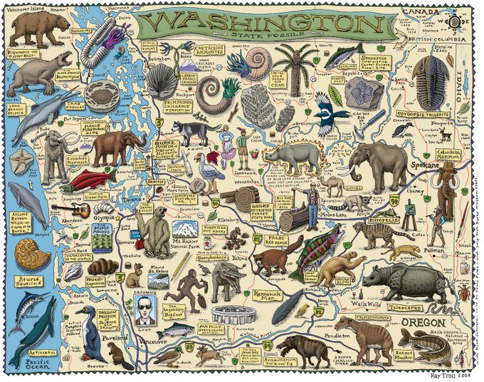
Fossil Map of #Washington (2008) by Ray Troll https://t.co/ETHazRnSqa #MapPorn
Planisphæri cœleste, by Frederik de Wit, 17th century https://t.co/Qy0VLMVOPY #MapPorn
1843 Blackwell Map of Niagara Falls, New York https://t.co/OmWEfkpyKh #MapPorn
The world in 250 Million Years with modern borders https://t.co/5XkV0R6XTs #MapPorn


