
71 件中 41〜50件を表示


from the #Circassian Charity Evening (Yekaterinodar [Krasnodar] 1908). "Living Tableaux"
0
6


1 & 2. #Nikolaevskaya [#Istiglaliyyat] street #Baku, #Azerbaijan (1900 - 1917)
3. #Olginskaya [#Rasulzade] street (1900 - 1917)
4. Postcard: "Greetings from Baku" (1900 - 1917)
8
13


Mountain [#Caucasus] Jews. Second half of the 19th century. Photos by Dmitry Alekseevich Nikitin.
22
40


Atlas Map: #Caucausus & Crimea with the Northern Portions of the Black & Caspian Seas. (1872). Author and publisher: Fullarton, A. & Co., London and Edinburgh.
3
19

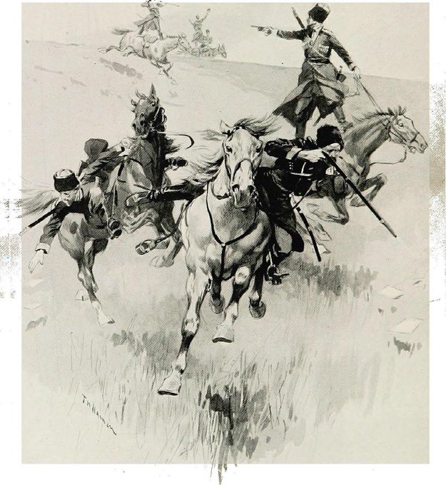
“#Circassians Drilling”, ‘Provincial Russia’ by H. Stewart, illustration by F. de Haenen, page 231. London, 1913.
1
14
