A gem of Soviet data visualization from 1933 - ЖЕНЩИНЫ В СОЦИАЛИСТИЧЕСКОМ СТРОИТЕЛЬСТВЕ СОЮЗА ССР [Women in Socialist Construction of the Soviet Union].
https://t.co/nBznSt3sxw
400 years of Timelines from 1606 to 2005. Mapping time is a powerful area of cartography - time as space and space in time. Over 300 examples in our collection can be seen at
https://t.co/kv4fOEXr9e
Largest 18th century scenographic or geometric city view - Joseph Huber's 1769 Vienna, Austria, in 24 sheets. 3.5x4.2 meters when joined. In tradition of Turgot's Paris of 1739. Incredible detail of city life and form. https://t.co/SlDeXUwnYO
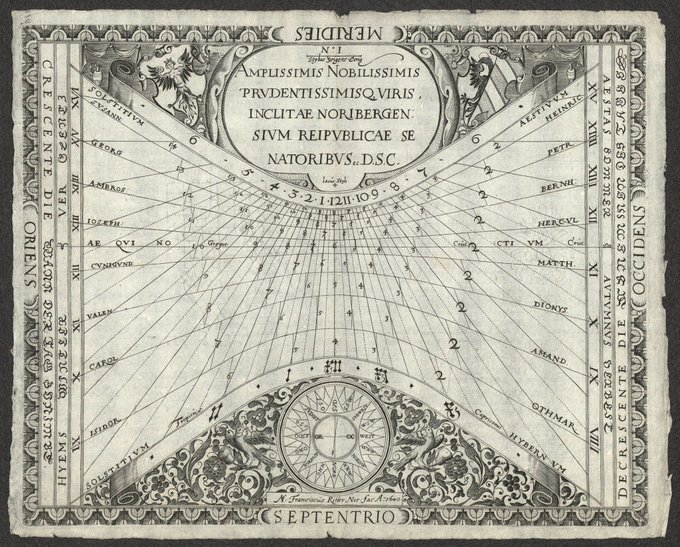
17th century German clock and sundial maker Franz Ritter's beautiful gnomonic projection maps and diagrams from 1610 offer unusual world views that can also be used as sundials. From his 1660 book Speculum Solis - Mirror of the Sun. https://t.co/99fGRBAFlC
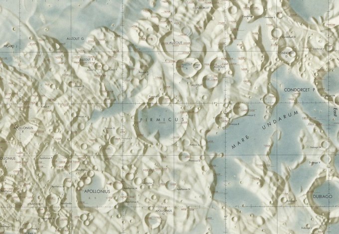
1960's NASA set of the last artistically drawn and airbrushed with India ink Moon maps. These 44 remained the most detailed Lunar cartography until photographs taken on orbital missions. Their "extra" reality shows what was lost to later photography.
https://t.co/mG0WBs2UOt
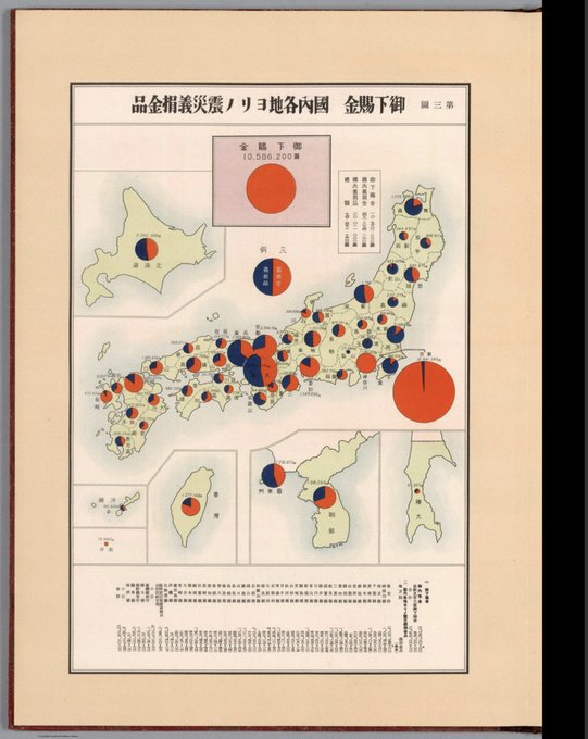
Impressive Japanese Data Viz 1930 - Teito Fukkō Jigyō Zuhyō 帝都復興事業図表 (Statistical Graphics Illustrating the Imperial Capital Reconstruction Project). https://t.co/tyyatMC9Q8
Precursor to 1935 Graphic Illustration of Tokyo City https://t.co/QzZ2mBvmu2
Mountains and Rivers maps amaze as early data visualizations. See more than 500 here -
https://t.co/jY8XNFXPec
Never before seen. Map of The City Of San Francisco, California. Copied From Originals with Corrections and Additions. 1850. View of San Francisco. Large Vessel At The Wharf is The "Apollo Store Ship." Sun Lithographic Establishment, 128 Fulton St. N.Y. https://t.co/OfgCQ73868
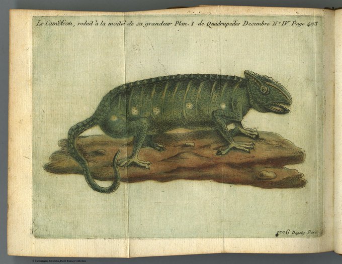
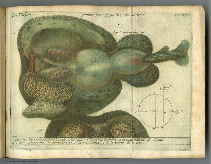
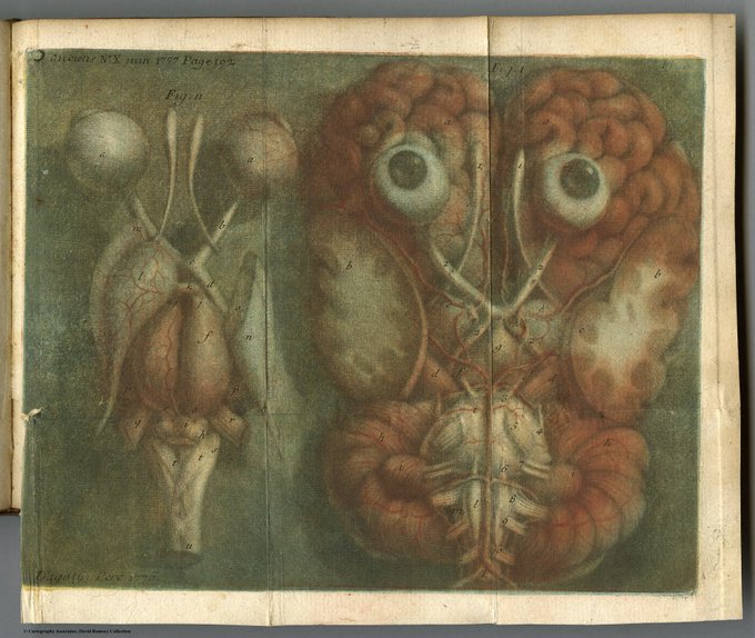
Revolutionary 4 color plate printing in 1776 by Gautier d'Agoty family in France - maps, animal and human anatomy.
https://t.co/3xeE5Z57mf
