
Irish Historic Towns Atlasさんのイラストまとめ
@IHTA_RIAFollow @IHTA_RIAさんをフォローする
フォロー数:507 フォロワー数:3087

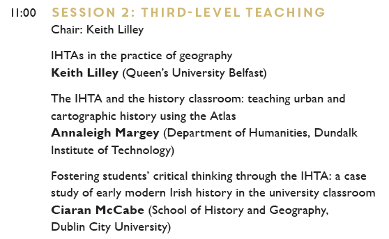

Workshop 2 THIRD-LEVEL TEACHING – Chair & panelist Keith Lilley will discuss how the IHTA assists in practical geography sessions.
Annaleigh Margey on the atlas in teaching urban history & Ciaran McCabe on 16th & 17th cent. towns using IHTAs as a source https://t.co/MZADQDr7Mk


In essay no. 4 for #IHTATownType series, Raymond Gillespie discusses the different towns that emerge or expand in Ireland from 1500 to 1700 in #EarlyModern #Plantation and #Gaelic towns:
https://t.co/7w9Z9Qq7li
Further reading available here: https://t.co/ErCqqVcfD2
#IHTAOnline

As part of #IHTAOnline we have essays by our #IHTA editors on town types in Ireland. This week we revisit the earliest version of an urban settlement where Anngret Simms writes on the #MonasticTown
https://t.co/AZB868cvP0
Further reading https://t.co/haXwYKnMCe
#IHTATownTypes
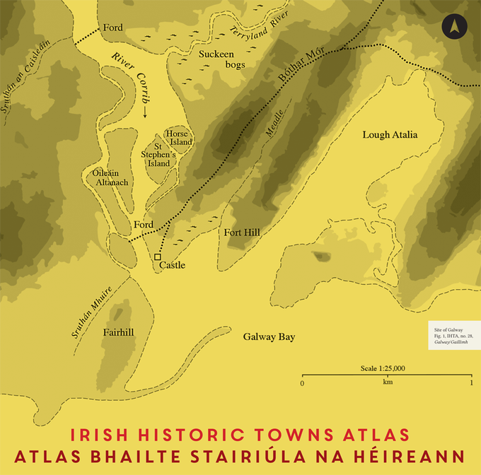
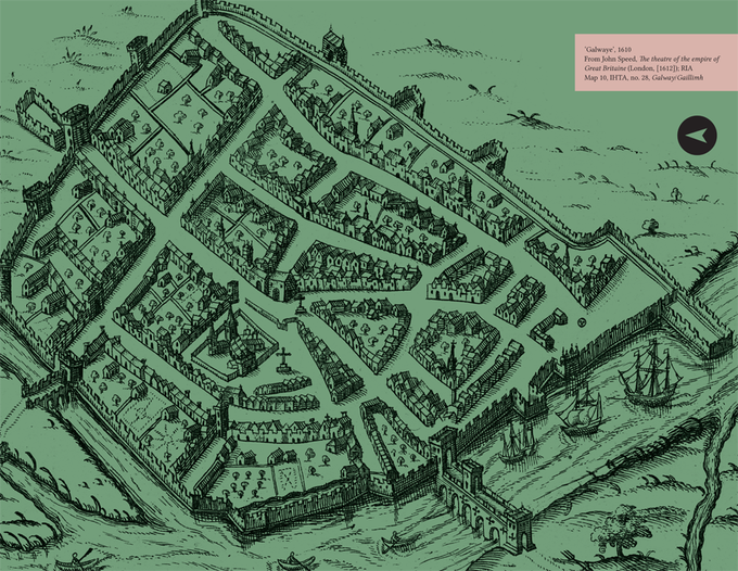
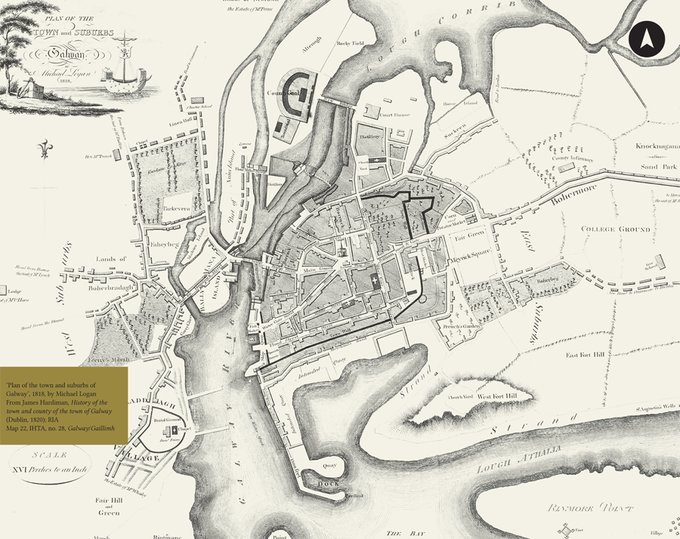
An exhibition of Galway maps are on view in @RIAdawson from July to late September 2017. Free, no booking necessary.
https://t.co/4QnjJvi9ns