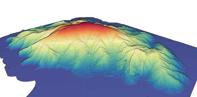
Obsessed with the beauty of relative elevation models (REMs) like we are? This summer OT intern Kenny Larrieu developed an open-source Python package that automates the creation & visualization of REMs. Grab a
DEM of your favorite river and give it a try: https://t.co/tAJ0tvOdg1
New @LINZLDS #lidar point cloud dataset covering ~165 sq km of the Taranaki region in New Zealand now available on OpenTopography. Data were captured in 2021 for the Taranaki Regional Council @TaranakiRC by AAM Ltd: https://t.co/cVgnMfGacC
New @LandInfoNZ #lidar point cloud dataset covering Nelson, New Zealand 🇳🇿 now available from OT. This v. high pt density (~37 pts/sq m) dataset covers 475 sq km of the S. Island: https://t.co/3hLzKFlYC5 📷 1) Pt. cloud colored by classification; 2) pt. cloud colored by elevation
A 1.5m resolution #lidar digital terrain model (DTM) covering the Tiburon Peninsula, Haiti 🇭🇹 is now available via OpenTopography: https://t.co/4tUuyaaXe5 We are redistributing this data to aid the recovery efforts for the August 14th, 2021 M 7.2 Haiti #earthquake.
Anyone been out exploring the @USGSTNM #3DEP #lidar available in OpenTopography? One of our team just noticed that Devils Tower National Monument is covered in a recently released dataset (https://t.co/jGnFKVCn8T). Images produced w/ OT browser-based tools. #opendata #devilstower
Another batch of @USGSTNM 3D Elevation Program (#3DEP) #lidar pt cloud data accessible via OpenTopography. 175 datasets, 4.4 trillion pts, ~800k sq km (red in map below): https://t.co/Btpeug1PQF 📷 1) Ivanpah Solar Station, CA; 2) Shiprock, NM; 3) braided streams Deadhorse, AK
Two new @LINZLDS #lidar datasets now avail from OpenTopography: Palmerston North, Manawatu-Whanganui, NZ 2018; Christchurch & Ashley River, Canterbury, NZ 2018 - 1100 sq km of data: https://t.co/Gjfy0DIZiT 📷 1: wind turbines in motion; 📷 2: lidar intensity, Waimakariri River
Six new @NCALM_UH #lidar datasets now available from OpenTopography. CA sites: Sacramento–San Joaquin River Delta; Horseshoe Lake & Hilton Crk Fault near Mammoth Lakes; Antelope Valley Ranch. Idaho Batholith. Goat Rock Volcano, WA. Campeche, Mexico. https://t.co/zX5InOcfY8


