//=time() ?>
@isakroa @barnabas_harris I was just going to do this something like this, but it seems that much more can be done!
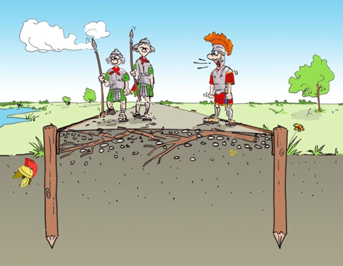
@RonaldMVisser Particular fan of this illustration!
https://t.co/Naxcn5m1cx
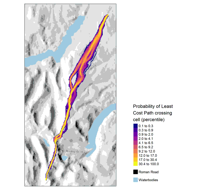
Making changes to my probabilistic Least Cost Path paper and an interesting result occurred:
By incorporating error into the LCP modelling process, two 'routes' of similar likelihood were identified...
Want more flexibility when computing least cost paths between locations? Make use of create_lcp_network.
Supply locations and a matrix of origins and destinations indices. Vignette coming soon!
https://t.co/XAT43WUgUN
The Importance of Maximum Slope!
Just a little bit of fun to see how different maximum slope traversable affects the Least Cost Path when predicting the High Street Roman road in Cumbria.
Maximum percentage slope argument set in create_slope_cs()
Blue areas represent lakes.
High similarity between Travel Probability Surfaces when using multiple Movement Potential methods - Routes most pronounced using FETE but all methods identify localised areas of high convergence... could be useful in many applications!
#30DayMapChallenge 4. Hexagons
Short on time, so it's a lazy one: Archaeological sites in China during the Neolithic
Data source: https://t.co/nIW66s5coH
#rayshader version showing how traversal across slope affects the produced least cost path.
black line = known road
yellow line = no traversal across slope
red line = with traversal across slope
https://t.co/AW1ORdiFmq
Version 0.1.3 - Optimised code and implemented the inclusion of other costs such as landscape feature attractions (see ?feature_attractions how to create these). Vignette with examples soon.
leastcostpath also has a logo! #rstats
https://t.co/XAT43WUgUN