
Propagandopolisさんのイラストまとめ
@propagandopolisFollow @propagandopolisさんをフォローする
Prints available on the website:
フォロー数:990 フォロワー数:163149


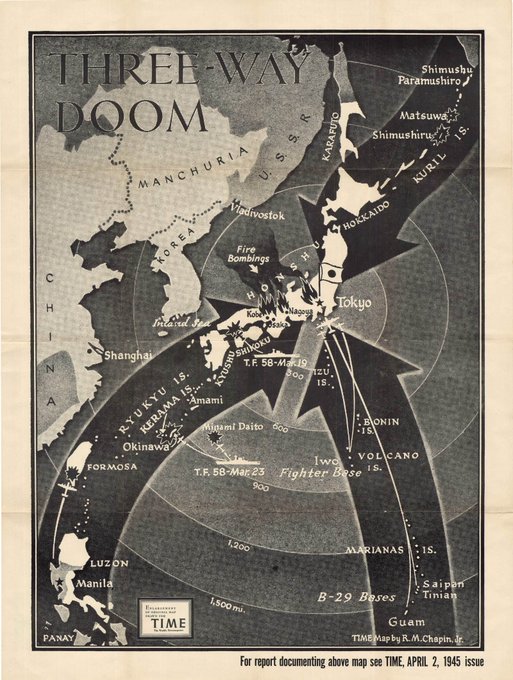

Three of Chapin's maps from 1945 show the Allied armies closing in on Germany and Japan.


A few maps from 1942–45 showing the changing situation in Asia and the Pacific. 'The Squeeze' is an especially famous one.


Most of Chapin's maps from the Second World War illustrated the evolving military situation in various theatres of war, and weren't strictly "propagandistic" (at least not at the start).
Here are some from 1942 and 1943 showing Europe, Africa and the Pacific.

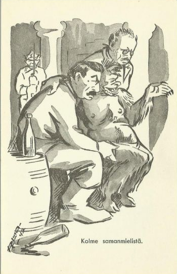
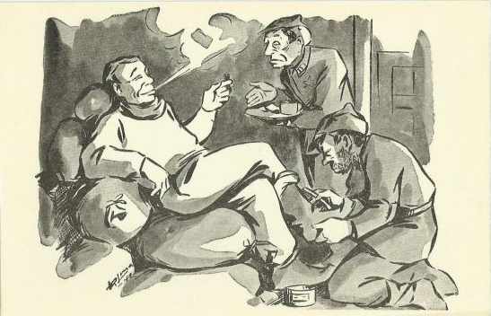
The back of the postcard reads: "Publisher: Karjalan Miekka". Karjalan Miekka ("The Sword of Karelia") was a service newspaper for Finnish soldiers during the Continuation War. The newspaper seems to have published a series of anti-Soviet postcards.

"The people rose up, the storm broke" — German postcard from the First World War (1914) showing Germania leading troops into battle while the German eagle flies overhead.

"The barbarians take the slaves" – A crowd of Belgian citizens gathers beside a departing train carrying forced labourers, with German soldiers standing guard below.
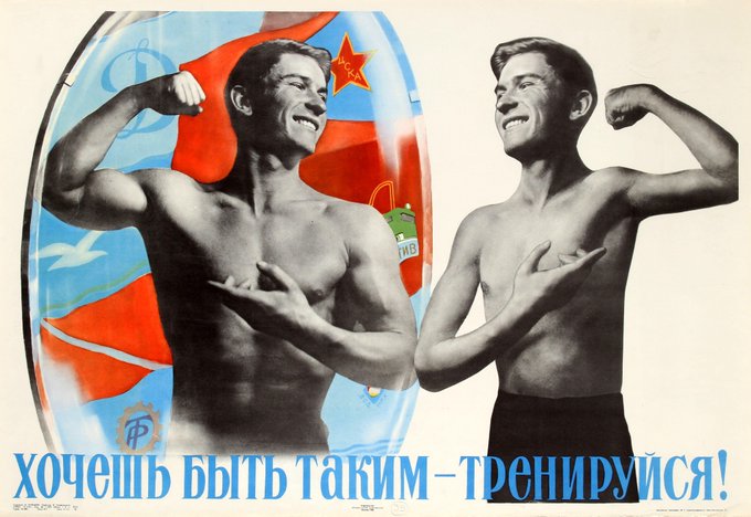
"If you want to look like that, work out!" – Soviet poster, 1966, showing a man flexing in a mirror before a brawnier version of himself.

Not even just the KPD/Nazis – this poster was published by the liberal German Democratic Party in 1928, showing a naked, brawny man clearing Germany of Nazi and communist icons.

Yet another from Czechoslovakia showing a red fist crushing the capitalist beetles. Drawn by Antonín Pelc, one of Czechoslovakia's more prominent artists and cartoonists.


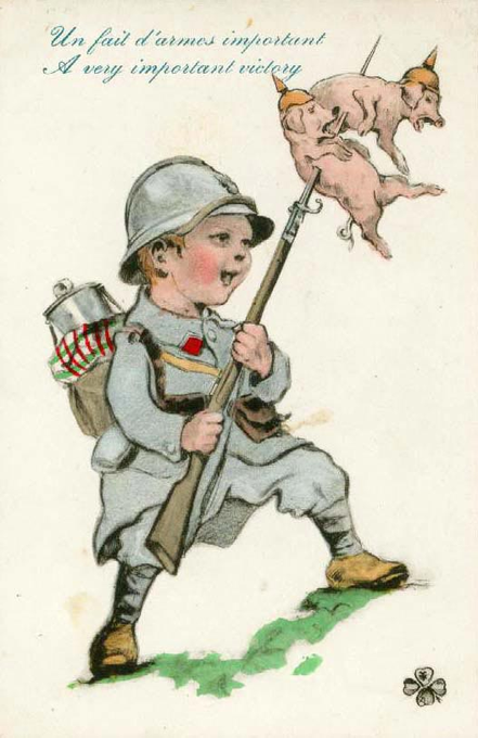
Children featured prominently in WW1 propaganda, especially postcards. Good article on it here: https://t.co/ciXXIhNPvm