The Greater Marinさんのイラストまとめ
@theGreaterMarinFollow @theGreaterMarinさんをフォローする
@thegreatermarin.bsky.social
@[email protected]
フォロー数:491 フォロワー数:2011


I'm up to 52% of the Lower 48's indigenous languages being checked and verified against treaties and local histories.
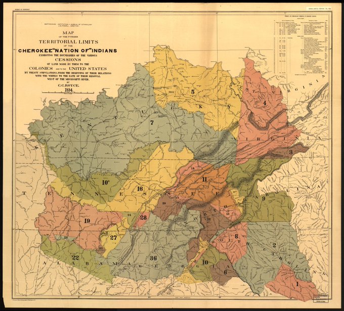
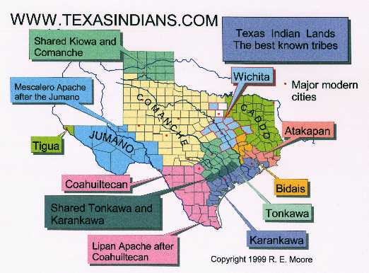
This is by far the biggest project I've ever undertaken because of a random thought experiment tweet. I think it was @woolie's fault. Some source images:


Anyway. I'm happy with how things are going. My latest fix was an update to Fresno County's mountainous area, which was Nim (Mono)-speaking, not South Sierra Miwok or Yokuts.
Also I'm finding some great maps and research.


Rough desire lines and major barriers along them. Heatmap is population, retail, and jobs (just Marin). Also, the OD heatmap I sketched atop.


Yellow = Bus
Light blue = Walk + Bike
Green = Subway / El / LRT
Red = Commuter rail
Grey = Drive alone
SF Bay Area


Yellow = Bus
Light blue = Walk + Bike
Green = Subway / El / LRT
Red = Commuter rail
Grey = Drive alone
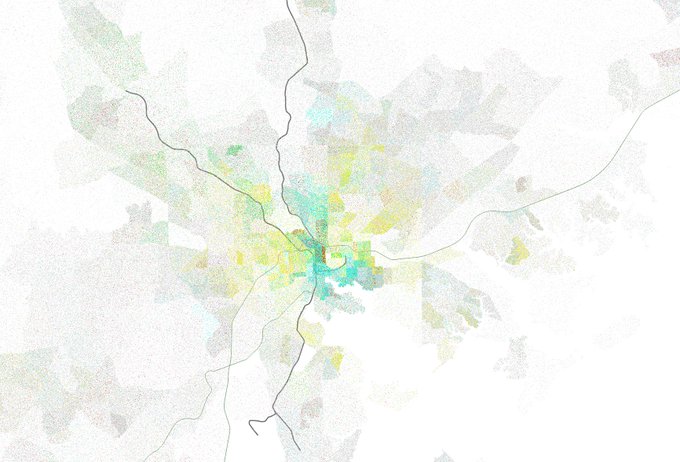
Baltimore, DC.

And, I'm a stickler for reservation boundaries being one of the very few exceptions to the political boundaries rule. Thanks to the KS reservations, I need to be precise with these old treaty lines to divide counties right.
So, here I am, geocoding 200-year-old treaty language.

Kansas was about as diverse as Oklahoma with regards to Native American tribes... for about 24 years. https://t.co/svtKklEJGy
We took land from the Osage, gave some of it to dozens of other peoples whose land we took, then took that land, too.


Have I figured out how to do hillshading on Illustrator from QGIS?
Why yes. Yes I have.

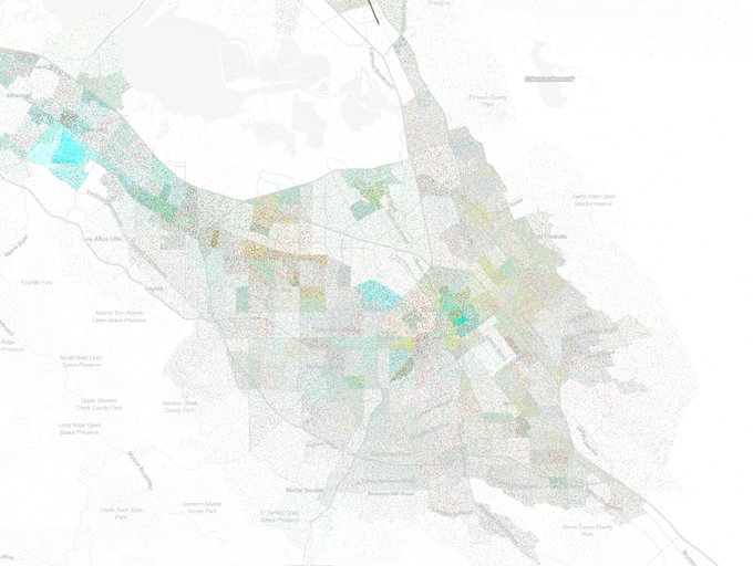
Just working on my last order for a bit: the greater Capitol Hill neighborhood.

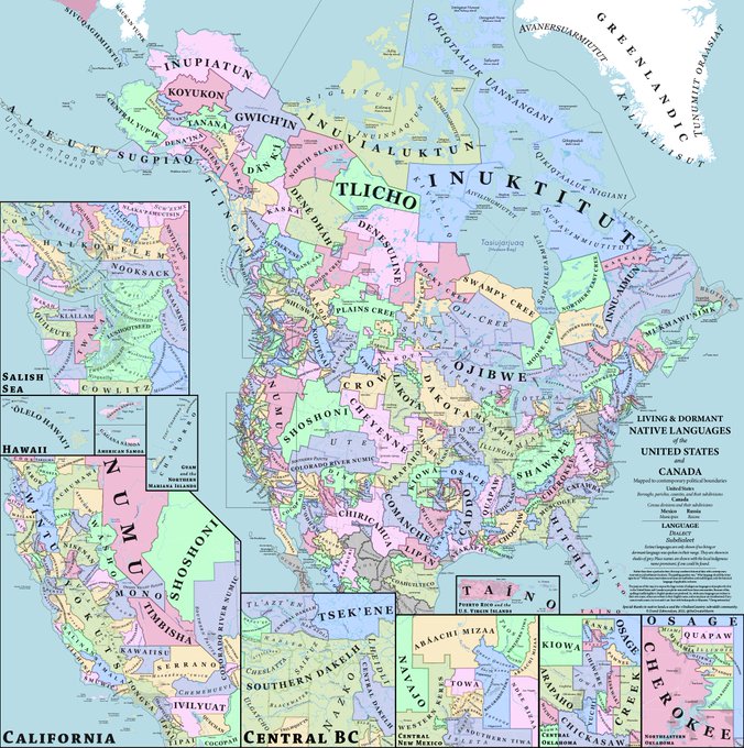
New style (in progress) vs old style, plus a couple of small edits. And one big one: look at South Texas. New language that I didn't know was being revived.
I have two last edits to do on the basemap before I'm actually done with v3, but they're smallish.