MapPornのTwitterイラスト検索結果。 313 件中 2ページ目
The British and American Grids of World War Two (April 1943) - From After the Map by William Rankin https://t.co/awBJVlz2jm #MapPorn
Active Spaceports / Rocket Launch Sites (2018) (National Geographic) https://t.co/Cwt5lLONXn #MapPorn
Generalized Photogeological Map of the Moon by the U.S. Geological Survey (1961) https://t.co/b8acV1eARm #MapPorn
Invisible Network: A Million Miles of Pipeline Map by R.M. Chapin for Time magazine (1964) https://t.co/xNezyB3a3H #MapPorn
Conway Castle and town around 1300, #Wales https://t.co/Vut1TVAnR3 #MapPorn
1697 map of the Indian Ocean region - by Carel Allard https://t.co/KmuQ8VDvis #MapPorn
The Population of the Baltic States 1935 https://t.co/OhSE8vHPif #MapPorn
Every Single* Island in the Pacific Ocean, Mapped https://t.co/DT4tr3ysV6 #MapPorn
Rare medieval World map from Le mer des Histoires, the monumental encyclopedia of world history issued in 1475, which contained the first printed maps https://t.co/5sOFJ4FHKa #MapPorn
America: How many counties, or county equivalents, are you away from your state capital? https://t.co/tDgl4uEJ7U #MapPorn
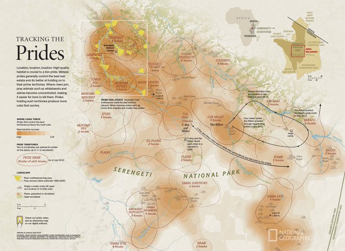
Tracking the Prides: This August 2013 map shows where lions thrive in Serengeti National Park - National Geographic https://t.co/xSGWd6CZ6I #MapPorn
On June 12th, 1987, US President Reagan gave his 'Tear down this wall' speech. Here is a map of the #Berlin Wall https://t.co/E144aFGLuM #MapPorn
International Bathymetric Chart of the Southern Ocean (2022) https://t.co/Uev84zRBQ5 #MapPorn
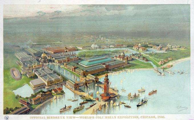
Worlds Columbian Exposition Chicago, USA, 1893 https://t.co/ybIihQeALQ #MapPorn


