MapPornのTwitterイラスト検索結果。 313 件中 4ページ目
Isochrone map of post coach and ship travel from #Berlin for 1819 https://t.co/rc1wFg0rPg #MapPorn
10
43
A Map of the Myriad Countries of the World (坤輿萬國全圖), The First Chinese World Map (Japanese copy, 1604) https://t.co/3eHcsGMKxF #MapPorn
5
36
Shaded relief map of Martinique, an island in the #Caribbean Sea, technically part of France. https://t.co/rOWuRsZFe5 #MapPorn
4
40
Greatest Extent of Japanese Naval Dominance: August 1942 https://t.co/w1QPBI932G #MapPorn
4
78
Map of North and Central #America in #Ottoman Script (1915) https://t.co/npDzYQlQUr #MapPorn
19
91
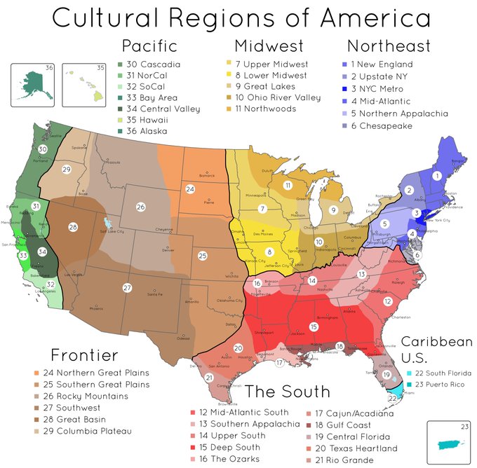
Another take on cultural regions of the United States https://t.co/ZNMaokfrJu #MapPorn
30
187
Free City of Danzig - Argentinian leaflet, 1939 https://t.co/1q1FkE3ZzS #MapPorn
5
33


