brumadinhoのTwitterイラスト検索結果。 2 件


Vamos orar e ajudar.
.
.
.
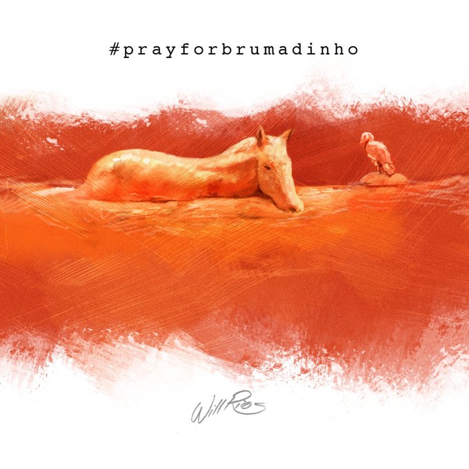
#brumadinho #prayforbrumadinho #valedoriodoce #vale #brumadinhomg #paint #pintura #painting
0
4
もし、気にっていただけましたらTwitterやブログで宣伝していただけると管理人が喜びます。
ツイートする