taranakiのTwitterイラスト検索結果。 3 件


New @LINZLDS #lidar point cloud dataset covering ~165 sq km of the Taranaki region in New Zealand now available on OpenTopography. Data were captured in 2021 for the Taranaki Regional Council @TaranakiRC by AAM Ltd: https://t.co/cVgnMfGacC
8
28


Carved gateway, Rangi Toa Pitea, Taranaki, Charles Heaphy, @Auckartgal https://t.co/9s5X2oXBHG #wikidata #digitalart #watercolor (Palette: #OrangeBrowns) 🖌🎨
1
1

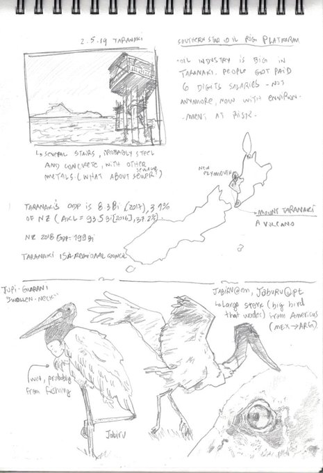
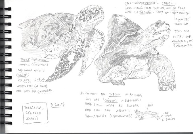


Holiday over in New Zealand. Sketch time is over too, so it is time to start programming again now #sketching #sketchbook #drawing #graphite #sciart #science #turtles #tortoise #jaburu #stork #birds #ornothology #taranaki
0
2
もし、気にっていただけましたらTwitterやブログで宣伝していただけると管理人が喜びます。
ツイートする