Conor Graham #GeoSTEM Geography Jedi 🛰️⛰️🌋🌎🌏🌍さんのイラストまとめ
@GeoConorFollow @GeoConorさんをフォローする
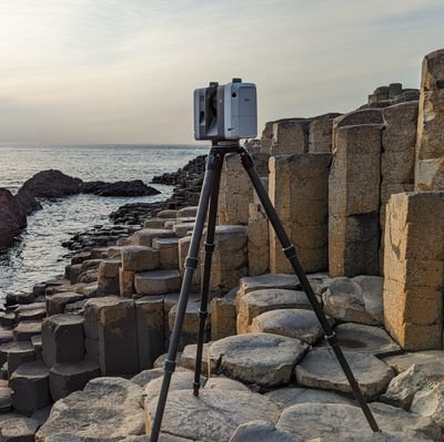
All things Geography Geomatics GIS EarthSci Drones4Good Mapping. Researcher QUB GeoEd GeoTech Surveyor. Bad Cartographer. MTB Leader & Rider! My views! 🚵♂️🌍
フォロー数:4923 フォロワー数:3018
1 件中 1〜1件を表示


Updated our @opendatani & @qgis blog for mapping Aerial #LiDAR data this eve. Suitable for GCSE/ALEVEL Geo's and older, Have a go at analysing & visualising real world #Geospatial data. Get LiDAR mapping!
https://t.co/eydLCKN0K4 #geosci #heritage #geology #geomorph🗺️🛰️🌐😀
13
22