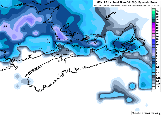
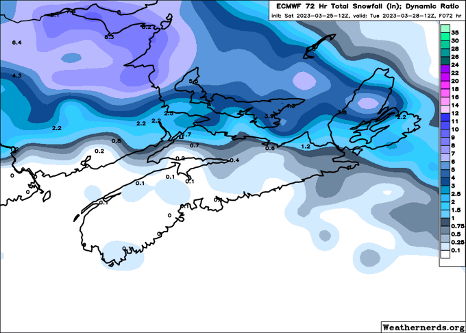
Looks like the evening models aren't too excited about the #snow potential in #NovaScotia. Most of them show only 2-5 cm for much of NS, except along the Northumberland shore.
Caveat: I don't know if these "snowfall" amounts include ice pellets or not.
#NSStorm
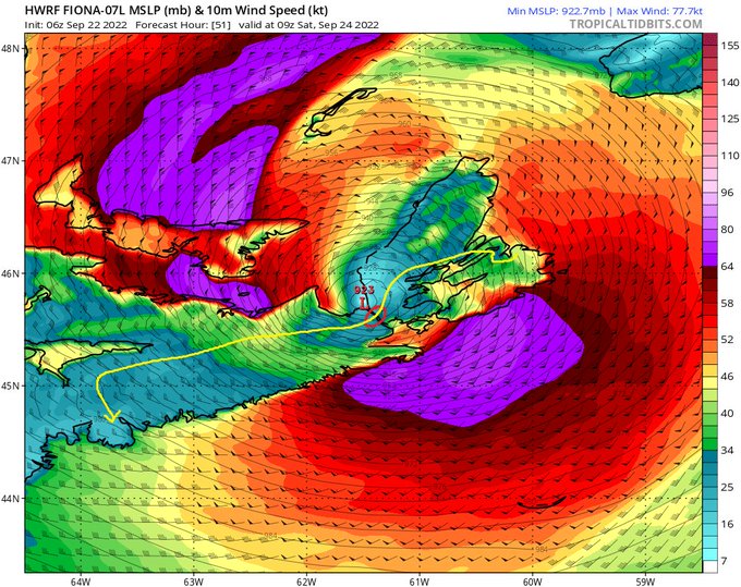
The latest (12Z) HWRF and HMON runs show an absolutely RIDICULOUSLY intense post-tropical hurricane #FIONA hitting #NovaScotia on Saturday at 6 AM.
914 mbar? That would be the strongest landfalling extratropical storm anywhere in the WORLD. #NSStorm #PEStorm #NLwx
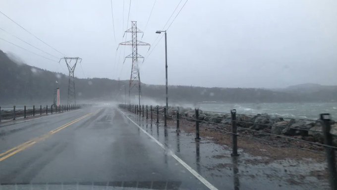
One of my greatest concerns during #FIONA is going to be the #CansoCauseway. (red circle)
A track just to the west of the Causeway is going to result in a massive surge in the Strait.
Also remember: most of NS's power comes from Cape Breton via 3 transmission lines (yellow line).
I bet at least *some* of you have checked https://t.co/4GioEYBJ8K or https://t.co/bvfmsWbN7i and seen the 0Z Euro -- a Cat 3 hurricane (#FIONA) making landfall near St Margarets Bay next Sat AM.
Before you say "we're doomed" let me explain a bit. #NSwx #NBwx #PEwx #NLwx (1/x)
Those thunderstorms just west of #NovaScotia 2.5 hours ago are on their move east-northeastwards.
They will be near #Halifax in about an hour or so.
Another set of t-storms just started firing up in the Annapolis Valley.
Expect heavy downpours in t-storms.
#NSStorm


