
Eric Webbさんのイラストまとめ
@webberweatherFollow @webberweatherさんをフォローする
フォロー数:1747 フォロワー数:85119


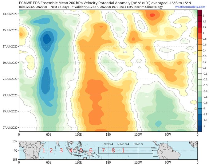
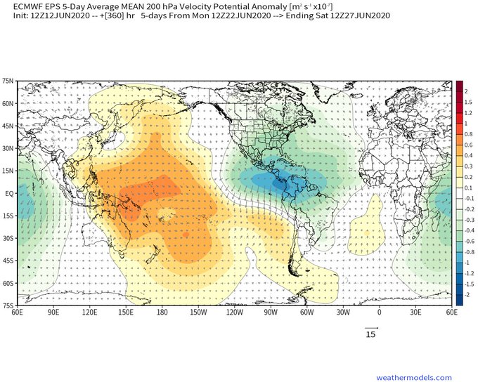
Fwiw, the EPS is consistently hinting at a massive uptick in E Pacific & W Atlantic convection near the end of June. This may result in a burst of NE Pacific tropical cyclones & perhaps a more favorable subseasonal state for tropical cyclogenesis in the Atlantic by early July.
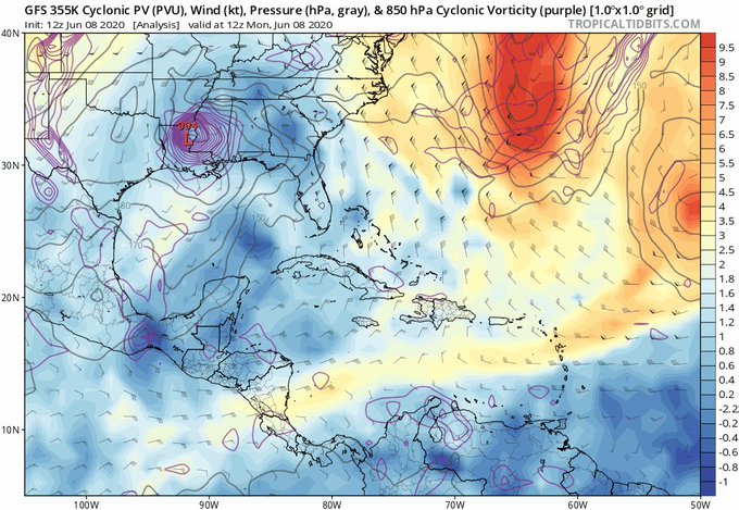
Despite lackluster model support, the large-scale environment seems conducive for tropical cyclogenesis here. Diabatic outflow from #Cristobal will help pinch off a PV streamer over the W Atlantic (in 🟡 & 🟠), creating a downstream upper level ridge that ventilates the Caribbean https://t.co/GrLdqpTiJk


There will be some low freq. enhancement that gives this standing wave characteristics. One major implication of this: stronger W African Monsoon & African Easterly Waves that serve as seedlings for most Atlantic hurricanes. Maybe we see an E Atlantic tropical cyclone before Aug? https://t.co/08ZQb2AoEi
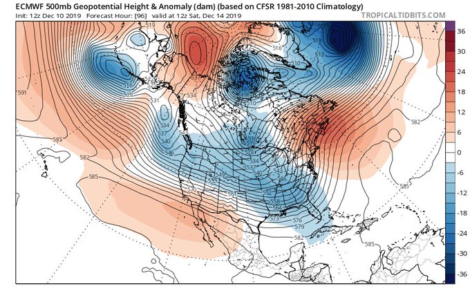
A parade of aptly timed/placed cyclonic wave breakers like this over Atlantic Canada is a great way to set off a legit -NAO, esp when the tropospheric polar vortex is initially sitting in your backyard over northern Canada, ready to join in on the fun.

As noted in a thread, this discrepancy in track is due to a Potential Vorticity Streamer (PVS) (warm colors) that pinches on #Jerry from the E in a few days. Only a strong tropical cyclone w/ a deep warm core will "feel" the influence of this PVS. You can blame #Humberto for this https://t.co/11kiHGknX0


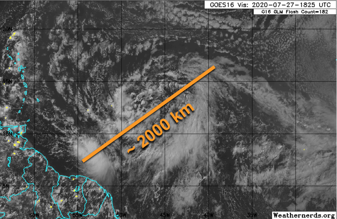
A CC Kelvin Wave is forecast to pass over the east Atlantic & Africa next week at the climatological peak of the hurricane season. This could lead to a parade of tropical cyclones in the east-central Atlantic. Odds are #Dorian may not be the last threat to landmasses further west