gisのTwitterイラスト検索結果。 190 件中 7ページ目


@ikbonbon I have a thing for Karate Gis, it shows. More cutie Donald for ye ♥
Wish I had a picture with Scrooge wearing one, but guess I have to draw that myself ><


E aqui vão os gatinhos da Gis e do Moco. Obrigada pela ajuda na campanha Amazonia Contra covid que bateu a meta lindamente e seguem recebendo doações pra comunidade Indigenas da região amazonica🥰 https://t.co/H3W1D7EZKb


Hi! I'm Fedir Gontsa, I'm a cartography designer, use open source tools, and looking for work in Cartography and GIS.
My Portfolio: https://t.co/1HTT0ZZiUQ
Instagram: https://t.co/lqmickIgTc
#PortfolioDay #map #cartography


Any teachers or geomentors working with K-12 students, stop by the @gisetc booth in the #esriuc expo https://t.co/LckGQuFKrM #GIS #gisineducation #esriuc #esriuc2020


'Sup! I'm Qesun, but I also go by secondVendetta and sometimes even 'Doubt.' I like to play and run TTRPGs, various strategy games, daydream, poke ask-blogs once a blue moon, and I still play with LEGOs.
I work with GIS and study urban planning.
I also have too many 'sonas.


One of my favorite things to do when I read comic books is find when a character is OBVIOUSLY modeled after a real person and then do a GIS to find the specific reference photos the artist used.


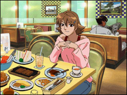
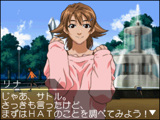
Rina Kokubo
First appearance: Project Hacker: Kakusei (DS)
A childhood friend of Satoru, the game's main character. Together they are recruited by GIS, an agency fighting internet crime. She's not very good with computers but her quick thinking often gets Satoru out of trouble.


R. Ufficio Geologico - Carta geologica delle Alpi occidentali - Dedotta Dai Rilevamenti Eseguiti Gagli Ingegneri del R. Corpo Delle Miniere, dal 188 al 1906 - Roma, 1908
#arcgispro #blender #maps #gis #dataviz #geological #cartography #copernicus #geospatial #3dart #3dmodeling

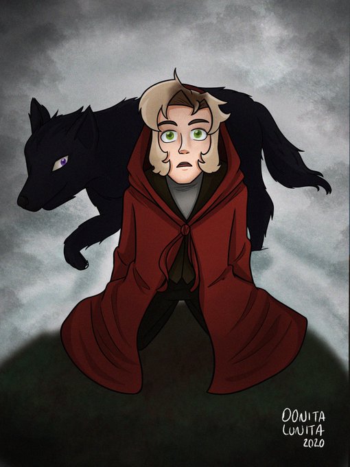
#RubegettaMonth Día 7 AU (Universo Alterno)
Basado en la joyita que esta escribiendo Gis “El Chico de la Capa Roja” que desde la idea de hacer un Rubius caperuzo ya me encanto (‘:
#Rubegetta #Karmaland

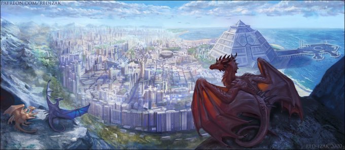
World building commission for always cool @taldret
I used GIS (Hong-Kong) in Blender for base!
https://t.co/4F6ppxrVxH
Download full version here: https://t.co/4P7OvFSbxu
#dragon

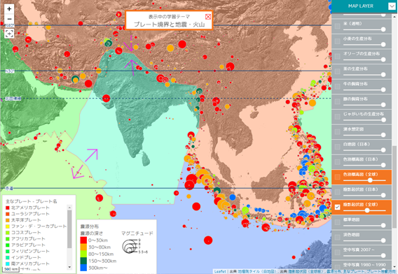
4月15日、GIS Webアプリ「地図太郎Lite for Education」が新登場!!
学習テーマごとにデータセットを配信する新発想のGIS!!
22年度から必修となる地理総合でのGISの利活用に向けご検討ください。
なお、当アプリは教育機関への限定のサービスとなります。
#地理総合 #GIS
https://t.co/RGr3QHklKq


No por qué me hacen elegir ;-;
Está bien estos son mis 4 trabajos que más disfrute realizar, y mas por qué me gusta usar el acabado de gis o aerógrafo
Por qué si les toca a ustedes
@Naum44061558
@TheAyy1
@WZ_Mich
@Neru_Minoru
https://t.co/LZsMYVI4VI

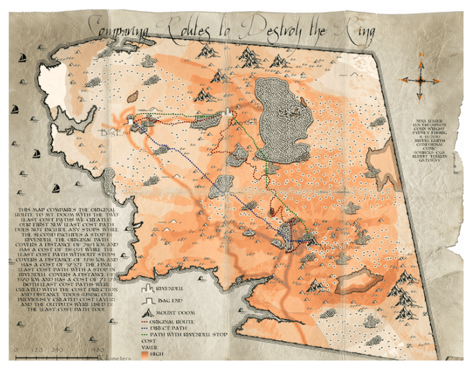
How #GeospatialAnalysis and #GIS could've helped the #FellowshipOfTheRing to find a better way (least cost analyses, anyone?) to Mount Doom 🌋 ...
https://t.co/fMF799Rmm4


https://t.co/9aTubayV3r gis a follow for some cute art, following back xo #gayart #gayartist #queerart #queerartist #irishart


◎あなたのサークル「E-Gis」は、月曜日 南地区“ア”ブロック-15a に配置されました。
受かってたー!長年言われ続けてた加筆総集編だそうかな!って思ってたんですけど昨今の情勢でどうなるかわかんないです!!


【GIS基礎解説:標高データ】DEM、DTM、DSM、TINは、GISにおける標高データとしてよく耳にする用語ですが、正確に使い分けができますか? 詳細はこちら→ https://t.co/kRZ1bkKJWG
GIS基礎解説ページでは、GISでよく使われる用語や技術について解説しています。ぜひご覧ください。


@liatty_ Galera que eu curto, vou citar só alguns pra não alongar muito:
Carolina Gariba, Will Murai, Gis Almeida, Nesskain, Max Grecke. e tem a galera que eu sigo pq curto a interação que eles tem com o público, @peixeaquatico @CanalBrushRush @paulomoreria


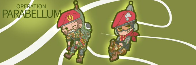
#RainbowSixSiege
#レインボーシックスシージ
つままれシージヘッダー
JTF-2、707-SMB、G.E.O、GIS