datasetのTwitterイラスト検索結果。 239 件中 12ページ目


Two #opensource tools developed to reproduce the internal and external anatomy of #fossil #bones (https://t.co/RP7gXne69D). Download some freely available #3D datasets and get started today. #FossilFriday #rstats #Morpho @antonio_profico @zarquon42b


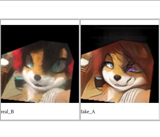
Fine tuning the stylegan model trained by @gwern on the dataset of pictures by @misaki_cradle


Print texts often depict the ❤️ out of context & oriented “upright” on the apex. But that is not real #cardiac anatomy. Since we often employ 3D datasets to teach & portray complex anatomy, they must be accurate & with in situ orientation. #ClinAnat #MedEd
https://t.co/ttc31TaDSw

Loved the last video @_CodeParade_
Maybe we should make a public repo for furry datasets? I've got around 3500 fursuit / furry pictures with facial feature metadata if it's of any use


So AI Neural Net upscaling is going to revolutionize remastering and recovering old games/graphics/photos/drawings. This is incredible. It's hard to believe it's a filter! This was done with ESRGAN using a Mang109 dataset-trained model. Days of hq4x and SuperEagle are numbered!


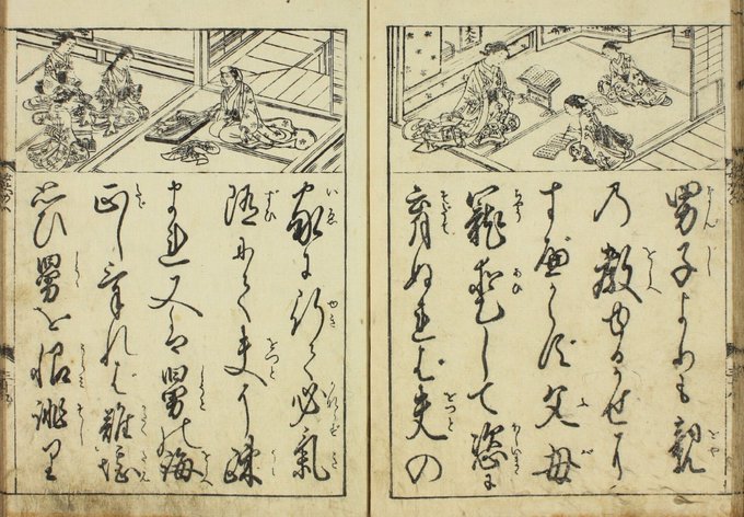
Today we're releasing three new ML benchmark datasets, based on handwritten character recognition in ancient Japanese manuscripts.
Kuzushiji-MNIST is a drop-in replacement for MNIST, with larger K-49 and K-Kanji datasets also released
Check it out! https://t.co/3laNPrGM7l ✨


I added some heirloom apples, cookies, and D&D spells to the dataset of pies to see if the neural net would make some more medieval-sounding pies. It worked a little too well.


A couple pix2pix results using the alcohol ink dataset. It doesn’t work great with more pictorial inputs (looks like style transfer which are meh)


Supervised machine learning to Id. cryptic skate species with @daniellequinn88. Thinking outside of the box to address problems with large datasets. #AFS148 #scicomm #fishart #MachineLearning @AFS_SciComm @AFS_Students

Paper is out!
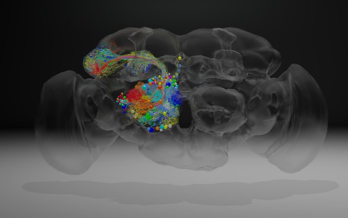
Whole-brain electron microscopy volume of adult fruit fly at synaptic resolution
https://t.co/7N8rqUVfZp
video abstract: https://t.co/za4K9Nmraw
Download dataset + preconfigured @catmaid tracing server at: https://t.co/Rlp9xs0knl
Thanks again to everyone involved!


new phylogeny of tetras and allies (4th largest fish family) based on huge morphological dataset: 520 characters for 473 species, including several fossils
Morphology, molecules and the phylogeny of Characidae (Teleostei, Characiformes)
https://t.co/2rANtNI2xH


Starting the stream in a few mins, today I'm gonna try to figure out datasets for the Fatal Prophecies website, mainly to handle gallery search.
https://t.co/gcxaCMEPo2

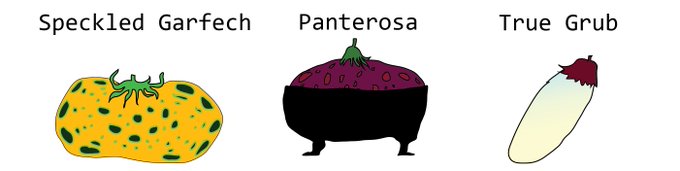

Plant these heirloom tomato varieties, courtesy of a neural network.
Dataset thanks to @thebiologistisn
https://t.co/MxaNTnYwFP


I trained a neural network to invent new insect species, thanks to a dataset from @EntsocAmerica. Look out for the lick beetle. https://t.co/L90f6qYPeE


Explore more #IIIF datasets for research! Over 8000 paintings in the public domain from the @NatMus_SWE: https://t.co/nZ2GgRhutm


The @britishlibrary offers over 1 million free vintage images for download https://t.co/ilMYZLeWYs #dataset

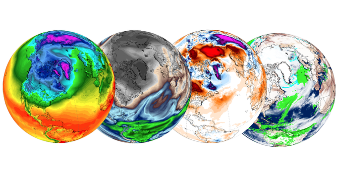
Teaching #climate? This interactive suite of weather & climate tools lets students manipulate & display datasets. https://t.co/Ygak2q1lWE


New blog post about experimental #dataviz techniques: https://t.co/aPRMA0O3z0
Image: Iris dataset MDS + color-coded original data features


"@pmarca: .. citing "median" of any power law distribution dataset verges on narrative fraud https://t.co/kR2eH1UJKF"