topographのTwitterイラスト検索結果。 699 件中 29ページ目
happy international women’s day 💞 the female figure has always been my biggest inspiration
I have a whole series of paintings based on dreams I had where I saw the earth as a woman, her topography mapping the curves of a body
should I mint them later? ✨ this is DREAMSCAPE 🤍
I made a woodcut topographic map of Skyrim! 11 layers of Baltic Birch plywood, colored with acrylic inks and varnished in Shellac. Measures 14x18" and its highest point (the Throat of the World) stands 2.75" tall.
For more, bigger pictures: https://t.co/uXj09njXHv
playing around with different styles of water for our next game 🌊🌈
this one was inspired by topographical maps 🤓
#indiegames #indiedev #water #maps
起伏を伝える図のことをTopography(地勢や地形の意)と言うんですが、良い訳語がないか思案してます。topographic anatomyだと局所解剖学ですし。
Got obsessed with combining pictures of my favorite places with their topographic maps tonight and stoked about the result
A pathological atlas of lunar topography & Selenodesy https://t.co/RgB40gtMwL
super excited to get one of these Catskills quilts from @HapticLab! our tiny town of Palenville is embroidered on there along with the local topography
https://t.co/Z4YoEnt3qb
William Tombleson (1795 - c. 1846) was an English topographical and architecture artist, illustrator, copper and steel engraver
Anyone been out exploring the @USGSTNM #3DEP #lidar available in OpenTopography? One of our team just noticed that Devils Tower National Monument is covered in a recently released dataset (https://t.co/jGnFKVCn8T). Images produced w/ OT browser-based tools. #opendata #devilstower
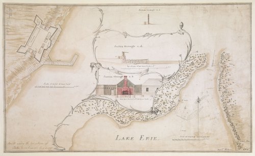
Curator's pick: Magdalena Peszko selects four maps to tell you about from the Topographical Collection of George III #KTop https://t.co/024zwjb3Og
Another batch of @USGSTNM 3D Elevation Program (#3DEP) #lidar pt cloud data accessible via OpenTopography. 175 datasets, 4.4 trillion pts, ~800k sq km (red in map below): https://t.co/Btpeug1PQF 📷 1) Ivanpah Solar Station, CA; 2) Shiprock, NM; 3) braided streams Deadhorse, AK
Christoffel Beudeker's 'most interesting and extensive Collection of Portraits, Views, Prints, Maps and Drawings relating to the History and topography of Holland, arranged and mounted in 24 Atlas folio Volumes, bound in Vellum’
The Beudeker Collection ➡️ https://t.co/3XMLat8czS
Anthea: Reminisce upon your FLARPing days!
panel redraw for @Schgain
Go ahead and read Damaged Goods: A Topographical Guide to War here!
https://t.co/zXcUJ09TZv
and also some maps! regions, topography, and forest density. for the same universe that nandati (sea dragon war criminal) is in!


