goeseastのTwitterイラスト検索結果。 6 件


Before/during the #RollingFork/#SilverCity Mississippi #EF4 tornado, pulsing cold overshooting tops were seen in 1-minute @NOAASatellites #GOES16/#GOESeast Infrared images - with a notable #GLM #lightning jump just before the event: https://t.co/vDlVABynZ1 @NWSJacksonMS #MSwx
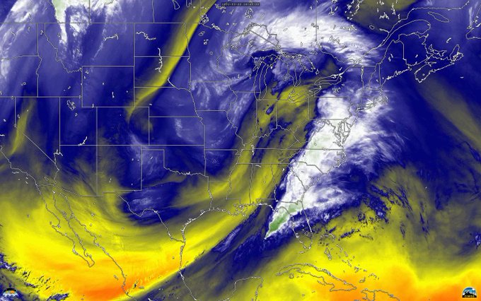
This massive mid-latitude cyclone has wreaked havoc for millions while plodding eastward. The Watches, Warnings and damage have been relentless, and sadly, even deadly. This #GOESEast loop pairs Water Vapor with True Color Visible imagery to convey the power of the huge system.

While you were sleeping - our atmosphere was on the move! Greens, whites and blues in this #GOESEast water vapor loop reveals moisture transport overnight into a winter storm over #NewEngland & rainy weather in the Pacific Northwest. Plus a cool gyre over the Atlantic Ocean.


Stunning 20 hour time lapse of #HurricaneZeta accelerating towards landfall along the central Gulf coast -- steered by an impressively deep cut-off low advancing east across Texas and Oklahoma (and bringing wintery weather along with it). #GOESEast low-level water vapor imagery.


On Sept. 14, 2020, the #GOESEast satellite zoomed in on Hurricanes #Sally, near the Gulf Coast, and #Paulette, over the Atlantic. We can also see a blanket of hazy gray smoke from western #wildfires drifting over most of the country.
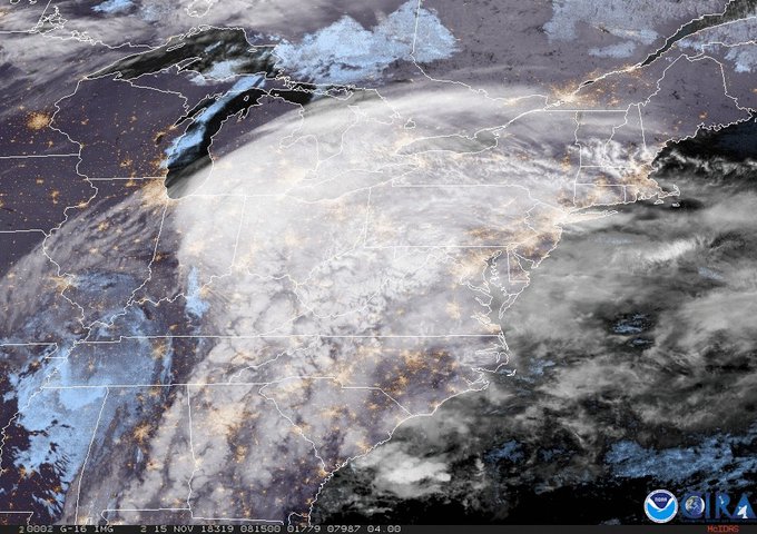
Who else is super pumped for this #snowday? #GOESEast captured this view of the winter storm that's bringing snow, sleet and ice to parts of the East Coast. More imagery: https://t.co/NhKMBeSoww