hillshadeのTwitterイラスト検索結果。 6 件


Example of how color grading tricks your eye, highlighting some things and suppressing others. Color banding is one common way to be dishonest with a map. Btw, #ArcGISPro's mode to display a #hillshade on the fly is awesome. #gis #cartography #colors #symbology


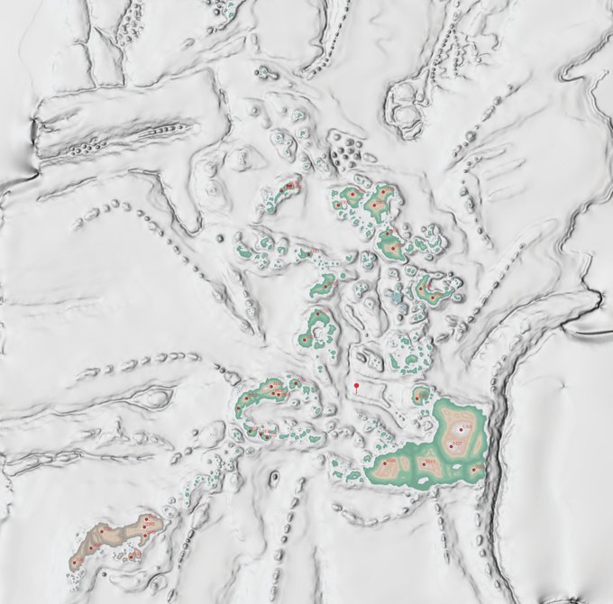
Today in @BiohazardJeff Blue Planet, rebuid of the Pacifica Archipelago. Blended Wet/Arid Biomes, some DEM enhancements and now with River systems.
Colour Landscape, New Hillshade, Rivers


Next up Layer Blending, the goal here is to seamlessly blend the shadows and highlights from the Hillshading into the Colour Plate base.
1 - Hillshade with a Z-factor of 3
2 - Bottom Landscape of Land/Water Colours

So for the first map I did a few years back the interpolated contours made a fairly majestic DEM and the Hillshade while fairly rounded was still really nice and contrasting.


Day 3 of #30DayMapChallenge 2021 – Polygons
A hillshade generated from hillshade-contour polygons, using a method described by Russ White in his 2021 #Nacis2021 talk: https://t.co/YM7V7xeSVd
https://t.co/Its0AGxGnr


I've been playing around with some DSM data in #QGIS. (Arthur's Seat, Edinburgh) Amazing what you can do without needing to extra software. It's great to combine the results of a GDAL Hillshade with "edges" & the results of the Batch Hillshader plugin. Then come the blend modes!