QGIS.のTwitterイラスト検索結果。 4 件


Why would I, the #rayverse's number one fan, use Python? :P Because I wanted to play with the cool {riverrem} package by @OpenTopography! And it is very cool indeed. What's more, it is fast, faster than if I did this in QGIS.
And I used RStudio of course! Yay {reticulate}!


I've been playing around with some DSM data in #QGIS. (Arthur's Seat, Edinburgh) Amazing what you can do without needing to extra software. It's great to combine the results of a GDAL Hillshade with "edges" & the results of the Batch Hillshader plugin. Then come the blend modes!


Thinking about future outings, so I've had a quick look in the #TamarValley and it seems there's plenty to keep me busy - this is just a small section (nr Milton Abbot) for #HillfortsWednesday. Fancied a bit of straight up #cartography this time, so this is all in #QGIS.


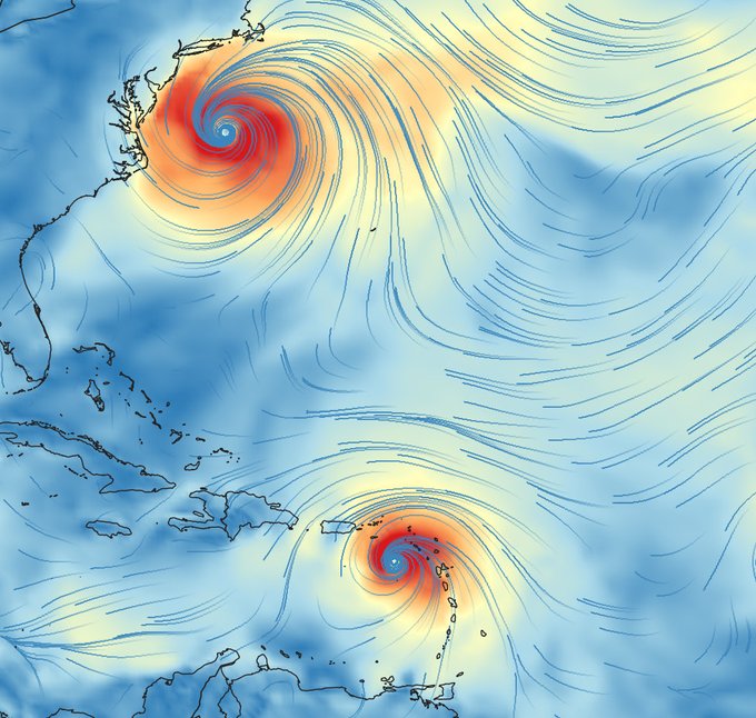
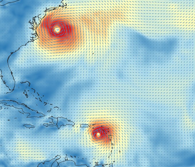
Playing w/ the new options for Mesh vector styling in #QGIS. You can choose between arrows, streamlines and traces. Streamlines and traces are wicked cool! Thanks @lutraconsulting