kswxのTwitterイラスト検索結果。 8 件


#Ai is getting closer. Used this #prompt to create #fake pics. “create a realistic picture that has an anvil cloud at top, rotating #supercell with #striations in tbe middle, a wall #cloud towards a bottom, and a #tornado extending down to an open field at the bottom” #kswx


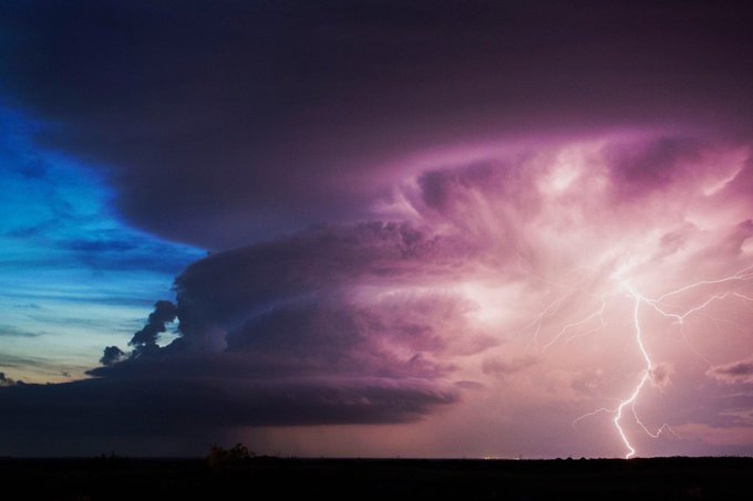
Scored an absolute JACKPOT on my flight to Denver this evening. Tornadic supercell over SW Kansas at 34,000 feet. #KSwx #Tornado #SevereWeather #Weather #ViralPic #ViralTwitter #StormChaser

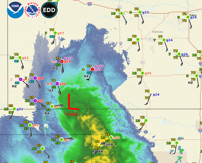
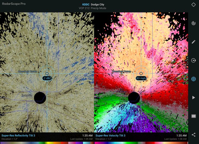
Significant Wake Low Windstorm going across Southwest Kansas overnight, particularly around Dodge City.. Peak gusts at DDC airport in excess of 75 MPH. My house legit shaking at times! #kswx


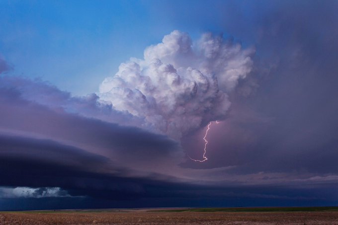


Monster supercell with large hail up to golf balls is crossing I70 just east of Goodland, KS! This storm is moving almost due south. Damaging winds are also possible. Tracking on the @RadarOmega_WX app #kswx


Widespread rain, low-end severe weather risk possible Friday https://t.co/7QugZigyqE #KVOENews #kswx


Active weather pattern in place for Easter weekend https://t.co/SVJQKV48vk #KVOENews #kswx

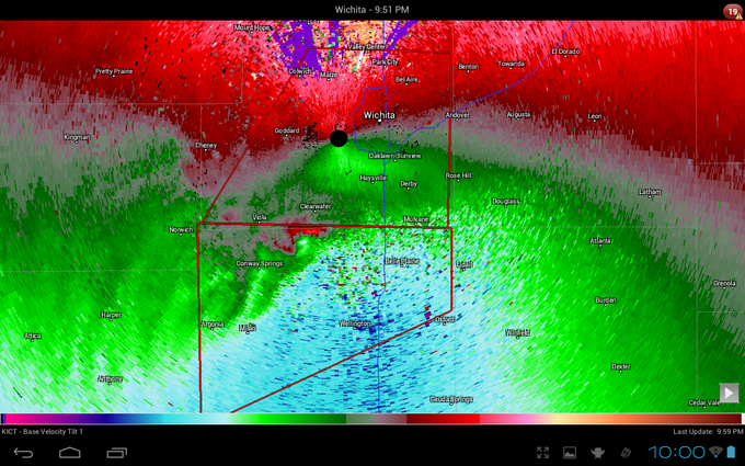
Scary stuff. If you aren't in your safe place you better be damn close to it! #kswx #ksstorms #wichitawx