txwxのTwitterイラスト検索結果。 13 件

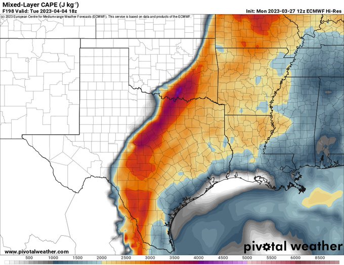


April 4th looks very concerning on the EURO and the GFS. Something to really pay attention to in coming days. Especially after this weeks round of severe weather.
#txwx #okwx #wxtwitter


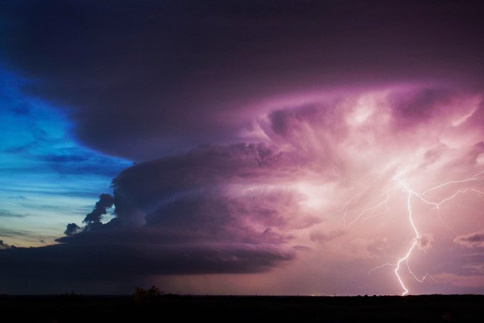
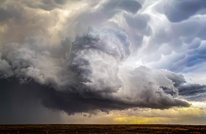
Impressive #supercell in #Plainview, #Texas by Bruno Gonçalves ⚡ Prints available. Check out Bruno’s collection of #storm photos: https://t.co/MFQ8JvCbji
#txwx #clouds #orages #photographylovers #tornadoalley @StormHour @StormHourMark @ThePhotoHour @StormFreaksArt @wxmann


12Z EURO now agrees with the more negative tilted trough to onset tomorrow. HRRR continues to show a very conducive synoptic setup for all severe hazards, and a potential increase in strong tornadoes, if a more semi-discrete/discrete mode is maintained. #arwx #txwx #wxtwitter


Beautiful lightning from a small thunderstorm along the the Llano and Gillespie County border tonight. I won't shoot a better lightning shot from here than this. :)
The non-severe storm's core was seven miles away, the lightning strike just 1.5 miles away. #txwx


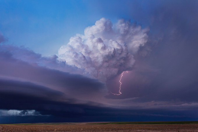


May 17th, 2021 near Muleshoe, TX. The TX Panhandle will always be one of my favorite places to chase. #txwx #phwx #StormHour #ThePhotoHour @CanonUSA


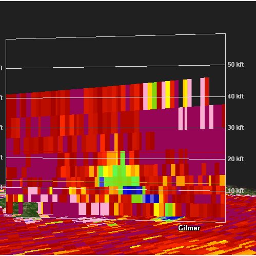
RAP model forecast for 20z (2 pm CST) shows best collocation of surface based instability and low-level wind shear over Southeast TX. Tornado watch already issued including Houston area. #txwx


Be very careful with fire/flame! Fire danger is running very high to extreme right now across Texas due to the strong northerly winds behind the polar cold front. #TXwx


Strong Category IV This Evening. Wed.26.Aug.2020. #HurricaneLaura. #Laura #TXwx #LAwx #LakeCharles #WxTwitter


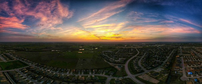
Texas sunset just north of Austin 🌅
Tuesday, March 10, 2020
#sunset #atx #txwx @StormHour @jdavis2119