
NLS Map Collectionsさんのイラストまとめ
@natlibscotmapsFollow @natlibscotmapsさんをフォローする
フォロー数:1034 フォロワー数:14011


This prophecy was supposedly fulfilled when the Tweed burst its banks on the day of the coronation of James VI and I. #folklorethursday

@ThingsWork What the world looks like before it’s pasted onto a globe... This example of globe gores is from c.1923. Zoom in at https://t.co/pKBAEHftrj

James VI of #Scotland was born #OTD 1566. See portraits of him and his family on John Speed's map of Scotland, 1610. https://t.co/qEx2GVSOQR
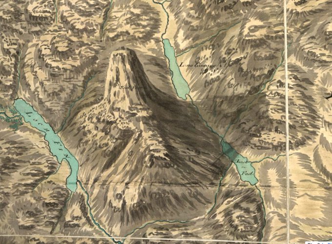
How awesome does #Suilven look on William Roy's 18th century #map...
The #mountain's in the news because of path repair work, with visitor numbers expected to increase following a starring role in the film #Edie. https://t.co/mVCnUVN4SC
See Roy's map at https://t.co/UW97YPo419
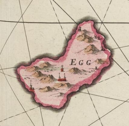
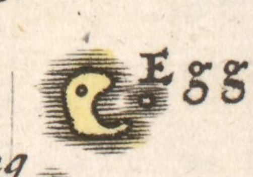


Hope the #EasterBunny brings you lots of colourful eggs. 🐰🥚 #HappyEasterWeekend
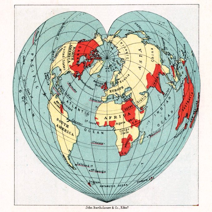
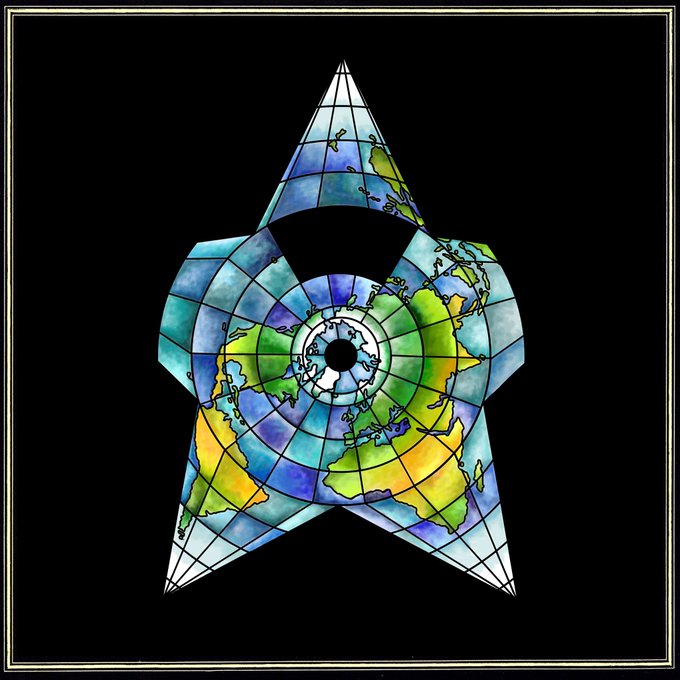
Today only one world view will do...
#cordiform #HappyValentinesDay #ValentinesDay2018


#AdventWorldMap day 23. Happy Christmas Eve Eve! Just one more map to share with you: a beautiful star chart from an 1801 celestial atlas by Bode. He depicted more than 100 constellations, compared with 88 officially recognized today ✨
https://t.co/uK8qhytLFs
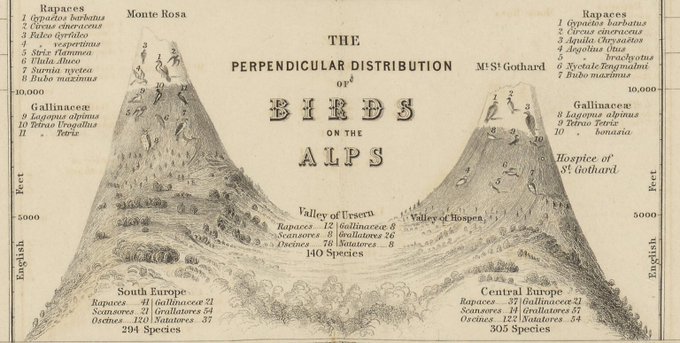


With Floe’s visit from @natlibscot, thoughts turned to our feathered friends. Another of Johnston’s 1848 zoological maps fills that European gap in our #AdventWorldMap. Love this diagram of #birds of the Alps (but Floe was more intrigued by the penguin)
https://t.co/o1OBsEbcIz


This 1862 map shows the very beginnings of Antarctic exploration. That point James Weddell reached in 1823 was the farthest south a ship had ever been. 88 years later - #otd - Amundsen became the first person to reach the South Pole.
https://t.co/pypZzd7wuc
#AdventWorldMap day 14


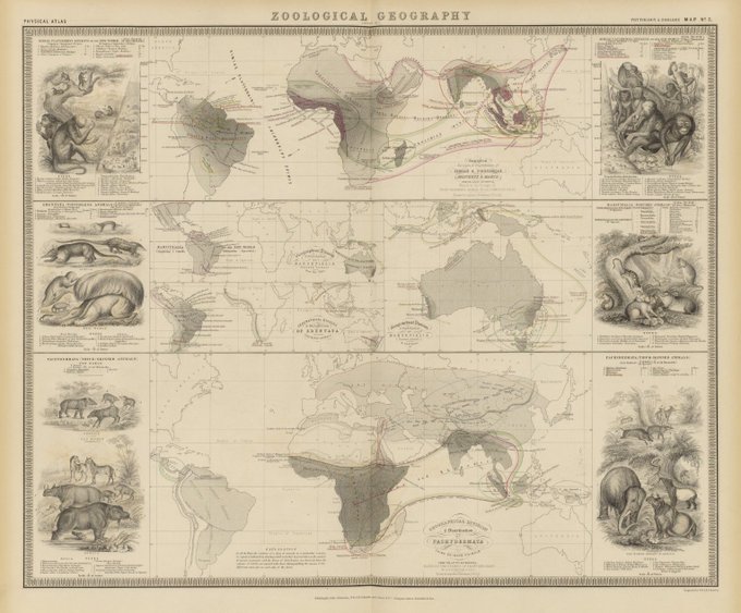
On #InternationalAnimalRightsDay, details from an 1848 Zoological Map. Published 10 years before Darwin’s ‘On the Origin of the Species’, they show what Europeans knew of the world's fauna in the mid 19th century.
Day 10 of our #AdventWorldMap - Africa
https://t.co/EREQ1kefvA