
NLS Map Collectionsさんのイラストまとめ
@natlibscotmapsFollow @natlibscotmapsさんをフォローする
フォロー数:1034 フォロワー数:14011


This #FossilFriday we're loving 😍 the beautiful illustrations of Liassic fossils from Stanford's Geological Atlas of Great Britain, 1904. #maps

Some of the smallest lochs were barely 3 feet deep or less than half a mile long…
https://t.co/gTmJzwG4iy
#ycw2020 #orkney #lochs #scotland

If any wise men are in search of camels🐪, we spotted some for you. https://t.co/ODyoXQhmGM
#maps

More adventurous #dogs for your #InternationalDogDay - these fine fellas feature on a postcard advertising Fry's Cocoa (an absolutely necessary item for all your antarctic trips)
Learn more about Scott's expedition to the South Pole: https://t.co/edwS1r3HNQ
#vintage #chocolate

Let's start off #NationalTellAJokeDay shall we?
.
What’s the difference between a tub full of freezing water and a depth contour?
.
.
.
One is an icy bath and the other’s an isobath. 😂
https://t.co/43Ev3XSiWN
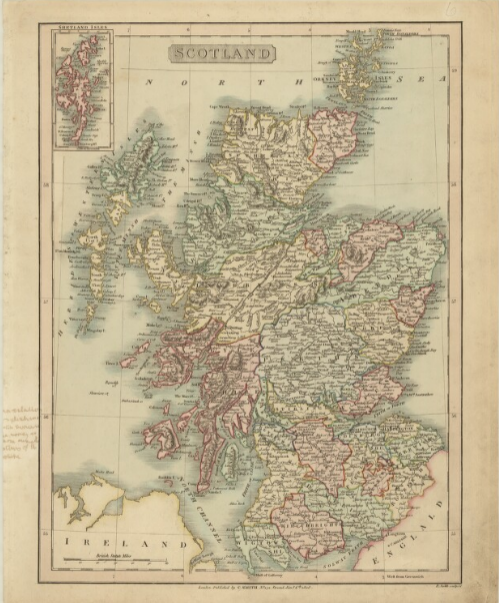
#Archive30 #Collection We hold several special collections of maps, including the Marischal collection of 137 maps of Scotland - compiled by Jacobite sympathisers in exile. This is Marischal 71, an 1808 map by Benjamin Smith. https://t.co/Gk6MXWxAqo @ARAScot

All you need is #love… and #maps ;)
Bartholomew's Cordiform globe, from his 1904 Handy Atlas of the British Empire (https://t.co/x4HnpWbJ6r)
#Archive30 @ARAScot

'In summer the longest days last here for two whole months . . there is great calm as well as great healthiness in the air; but in winter . . the day is very short; and the air then turns very stormy . . the sea is stirred by contrary tides and rages in a terrible manner.'
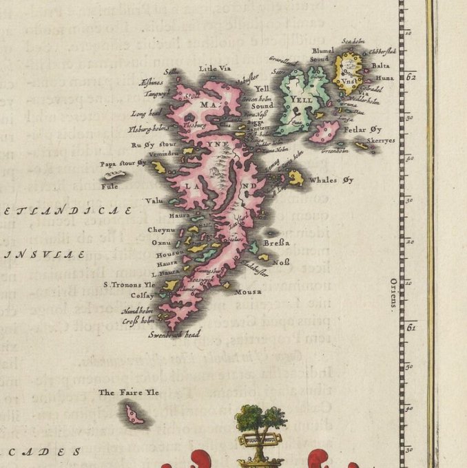
'The coastal areas are mostly inhabited. No animal except birds goes to the interior. . . Their riches are from the sea, great convenience of fishing being set before them in every part.'
Description of #Shetland from Blaeu Atlas, 1654.
https://t.co/2aEQJwa4OV
#UpHellyAa #maps
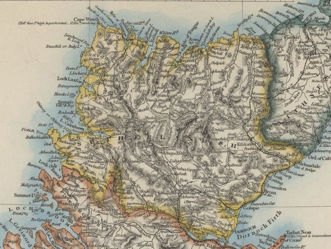

#Sutherland has a new flag to represent it, with voters selecting a striking design combining a Nordic and a Saltire cross, representing Sutherland's mixed Viking and Scottish history. https://t.co/eVLn2OCdU2 #flags