1 件中 1〜1件を表示
‼️NEW BLOG POST! You asked for it, and you got it!
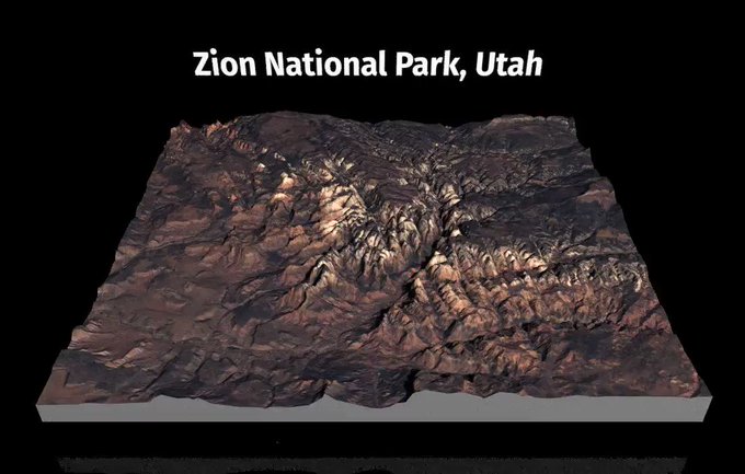
"A Step-by-Step Guide to Making 3D Maps with Satellite Imagery in #rstats"🗺️🛰️
https://t.co/os92oLm4I7
I walk through getting the data, loading the imagery, and creating the 3D viz w/ #rayshader. All code included. #gistribe
94
396


