aerialodのTwitterイラスト検索結果。 8 件
#30DayMapChallenge Day 26 Islands: Archipelago of Madison
What if, instead of a city surround by lakes, Madison was a chain of islands? Inverted lake bathymetry from @WiscLimnology + mapped using #aerialod #gischat
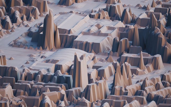
Believe it or not, this is a map. It was made using @OrdnanceSurvey data and processed in Aerialod. I then stylised it in Photoshop. I like the fact that cartography is as much an art as it is a science.
More #Physarum experiments in #Processing and in #Aerialod.
#voxelart
⛰️ 3D style geological map of New Caledonia (Kanaky) 🇳🇨
🗺️ "Nouvelle Calédonie - Géologie. 1:1000000. 1981"
🛠️ Made with #Aerialod , @qgis and @GIMP_Official
#Aerialod 0.0.1 : polygonal and bilinear surface rendering modes, tiff/jpeg image import and export, ply mesh export https://t.co/dm5li0yTgk


