MAPsのTwitterイラスト検索結果。 8,761 件中 410ページ目


What Overwatch's Maps Look Like From The Outside - https://t.co/SwLGgGZCo5
https://t.co/hJgQGa9sTB


「MAPS」観劇後の勢いで早速1枚塗りました
色鉛筆で着色後にデジタルで重ねて塗るという、意味分からない過程踏んだけど
久しぶりのぬりえ楽しかった
#社中ぬりえ


@GabrielPMC2 Our group @midgardiaRPG uses your things... ALL THE TIME, and you'll see a lot of your tokens and maps in most of our vods on youtube =D
Your token borders are the best tho, and I've been nagging my players to get your newest release to add to my arsenal >D


I made a two part tutorial on how to create animated transitions between maps and diagrams with #d3js on @observablehq.
https://t.co/zSz3Evi8S2


@DirIllustration @theaoi Many more maps in progress✏️Letting the beautiful Donegal Islands stand out. #maps #illlustration #sketchbook @DonegalMaps


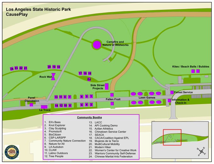
Join us on Sunday at 2pm ! Come make tie dyed bandana FRUIT maps of downtown LA with Fallen Fruit at Los Angeles State Historic Park- and come see all the art in the park including our 'Monument to Sharing.' it's free! @LASHP https://t.co/mayUf13Dci


Maps have been blogging about lions and boats! The boat we recently bought to be precise
https://t.co/fXcC3cGoQw


We love the #googledoodle today celebrating the publishing of the very first #atlas "Theatrum Orbis Terrarum", on this day in 1570 by Flemish cartographer Abraham Ortelius. Find out more about Ortelius and his stunning world #maps here: https://t.co/eO352Ysrk8 🌍📚


448 years ago today, 20 May 1570, Abraham Ortelius from #Antwerp published "Theatrum Orbis Terrarum". This first modern atlas had 53 maps. Historically important enough for google to feature the event (which is also my birthday) on its home page. Source: https://t.co/65jHm9hq4I


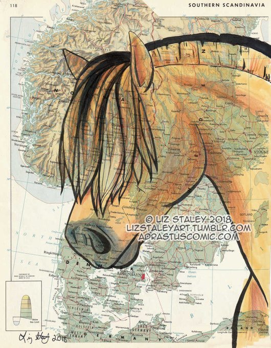

Hello, @EquineJournal ! I love your website and was wondering if you ever do any articles about horse artists? I'm a Pennsylvania based artist who draws horse breeds from around the world on vintage maps! https://t.co/90VQeYgqAp

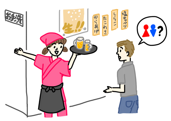
【イラスト追加】google mapsあるから人に道聞かない!と言う学習者がいますが、私も聞かなくなりました。でも相変わらずトイレの場所は聞きます。https://t.co/6p14uq7wgn

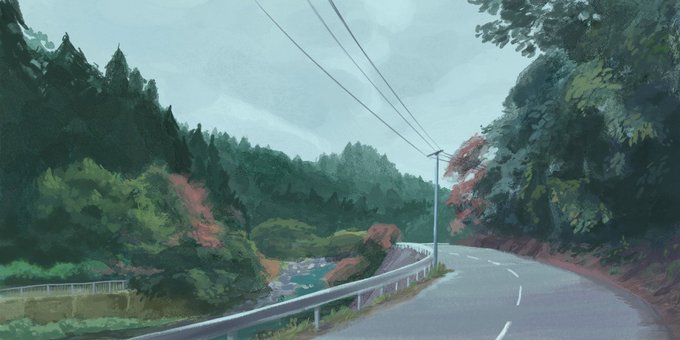
Another google maps study, this time trying a ghibli-adjacent style haha


#Mapa de #Florencia para el número de mayo de la revista #Ling https://t.co/Df62C6bsyd #ilustración #illustration #maps #awalkthrough #lingmagazine


I'm definitely enjoying this series of regional maps that @amtrak is using at the moment. Nice textures, colours and details.


Yoshi’s Island - in pen and ink.
There’s something satisfying about drawing these SMW maps 🗺🍄