
Simon Kuestenmacherさんのイラストまとめ
@simongerman600Follow @simongerman600さんをフォローする
フォロー数:215207 フォロワー数:264446

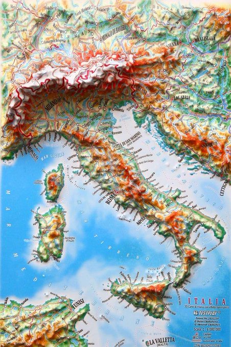
Photo of a three-dimensional topographical map of Italy. I remember these from childhood holidays in Italy. They were quite common at highway gas stations if I remember correctly? Maybe just a single gas station and my memory is faulty?Source: https://t.co/wJqmrpOFJV

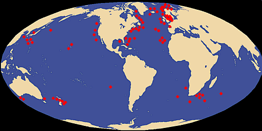
The global "Male Circumcision Map" teaches us that the US and the Middle East have at least one thing in common. Source: https://t.co/j03ezehfke


If you are from Denver this article on gorgeous hand-drawn maps of the city throughout the ages will delight you! Source: https://t.co/dAek2VyNhh

Here we see the Atlantic Ocean according to the 1492 Behaim globe. Source: https://t.co/nnui8T9v8T

This topographic map of Bali coincidently looks like your state of mind after too many nights in Bali's nightlife... Source: https://t.co/W6LoatQ4QP

Very cool and innovative way of displaying temperature data. This map illustrates the disproportionate projected heating of the Arctic. Expertly executed! Source: https://t.co/EVuNpKuIwQ
Map shows giant squid distribution. Source: https://t.co/SFrtVrBYwk
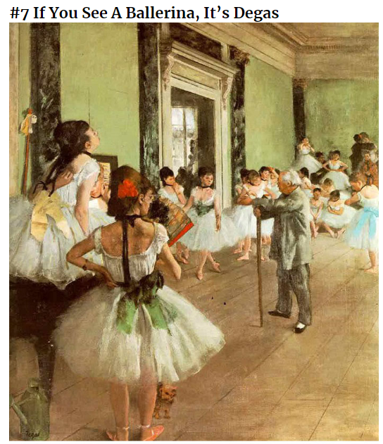
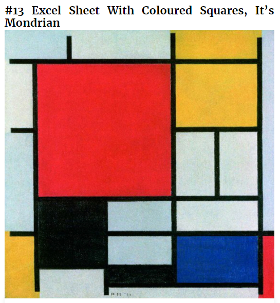
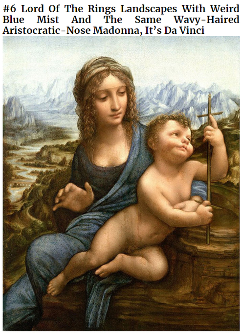

This terribly funny list will help you to identify the paintings of 19 artists. Here are my four favourites. Source: https://t.co/QoyVBAdNFo
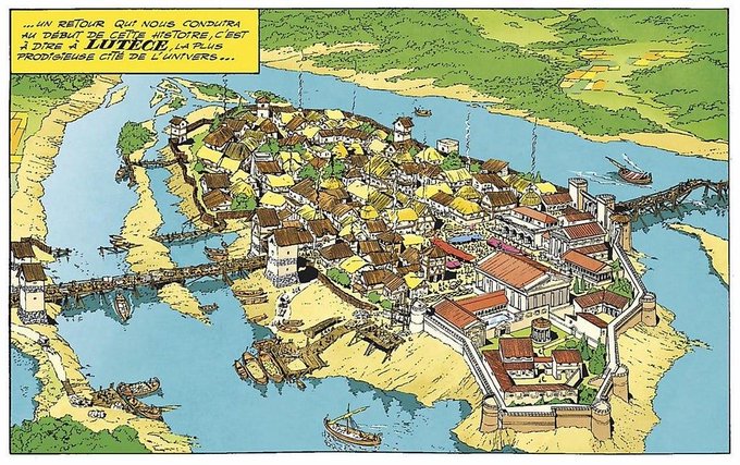
Lutetia (present-day Paris) in the year 50 BC drawn by Albert Uderzo of Asterix fame. Source: https://as https://t.co/0cXpE2DIuT
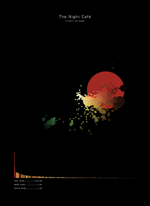

Awesome idea for a #dataviz. The visual shows an adaptive colour palette for a specific piece of art. Here we see van Gogh's night cafe. How great is that!? Source: https://t.co/qOp8lxLhoJ