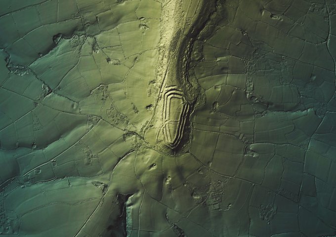
#30DayMapChallenge - 17 and #HillfortsWednesday in one today😉. Render of the impressive #Neolithic/ #IA #enclosure of #Hembury (on the edge of the #BlackdownHills in #EastDevon) and surrounding landscape from @EnvAgencyGeomat #LiDAR > #QGIS & #GIMP. #Hillfort photos below 1/n >
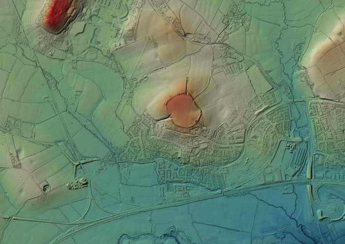
A quick visit yesterday (past) Norton Camp Hillfort, Norton Fitzwarren, Somerset. Low elevation site, on the end of a low rise of land. #Neolithic'ish to R/British occupation enclosure w/well described #holloways to the site (no time for exploration tho' ☹️). #HillfortsWednesday
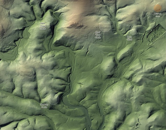
Extended 2019 data from @EnvAgencyGeomat #LiDAR means more material for #HillfortsWednesday. Now I can see all of the #hillforts / #enclosures in this corner of SE #Dartmoor *and* a bonus mystery ditch! 1/n
Thinking about future outings, so I've had a quick look in the #TamarValley and it seems there's plenty to keep me busy - this is just a small section (nr Milton Abbot) for #HillfortsWednesday. Fancied a bit of straight up #cartography this time, so this is all in #QGIS.
Brent Hill, South Brent #SouthDevon #HillfortsWednesday.
Lots going on on this little hill.
Early #IronAge #hillfort
#Prehistoric artefacts & enclosures
#Medieval chapel & lynchets (NE)
~16thC beacon
~19thC #adit, 19thC & 20thC quarries.
@EnvAgencyGeomat #LiDAR>#QGIS>#b3d>#GIMP


