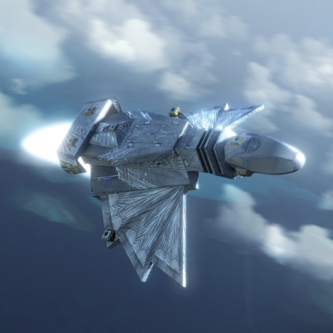
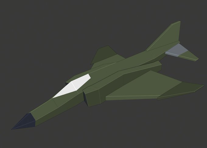
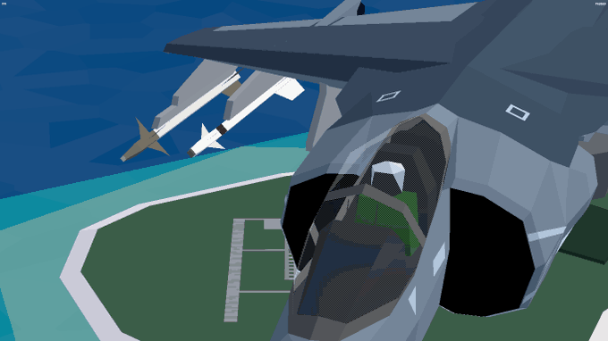
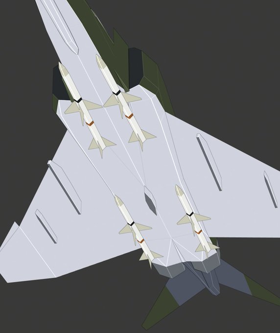
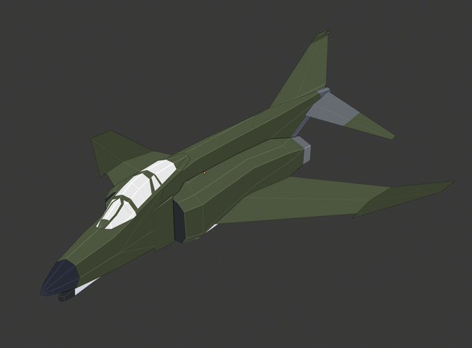
For the record, the combined tri-count for the LOD meshes is ~200, compared to the ~1200 for the normal plane. https://t.co/Psi3V4Iazz
@liamrhwld Yeah, looks like you were right. It was too big. The canopy is one those things that gets tweaked all the way to the end because getting it to look good from all angles is tough. It's smaller now, a bit more curved, and more in line with the reference I have.
Found what looks like a great source. University of Texas has a bunch of "Tactical Pilotage Charts." Even has things like highway airfields.
https://t.co/WjGWjDI3ea
@evil_potato I have one more question, this might be unique to Cuba, since by that point it wouldn't surprise me if the tech diverged quite a bit. Do you know this sort of thing could be done? A-10 had a ton of sharp polygonal cliffs and even tunnels. That can't be done with a heightmap 🤔
@evil_potato I just realized this is potentially a big opportunity 🤔
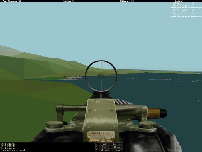
Do you have any insight into how the terrain was created in that engine? Hornet and A-10 had such distinctive terrain that is SO hard to emulate with modern workflows, processes, and rendering.
